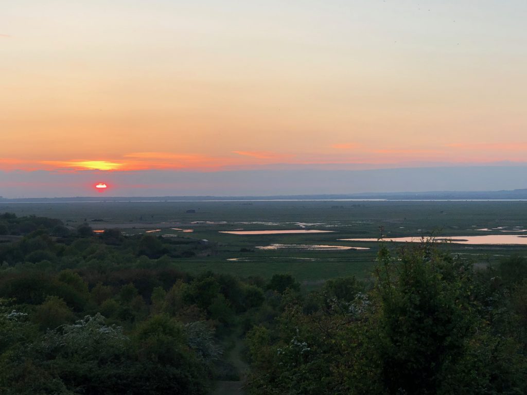
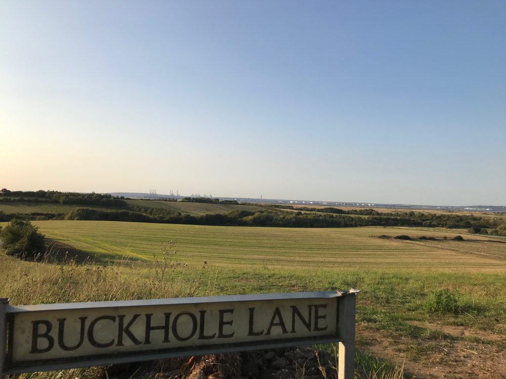
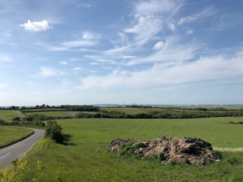
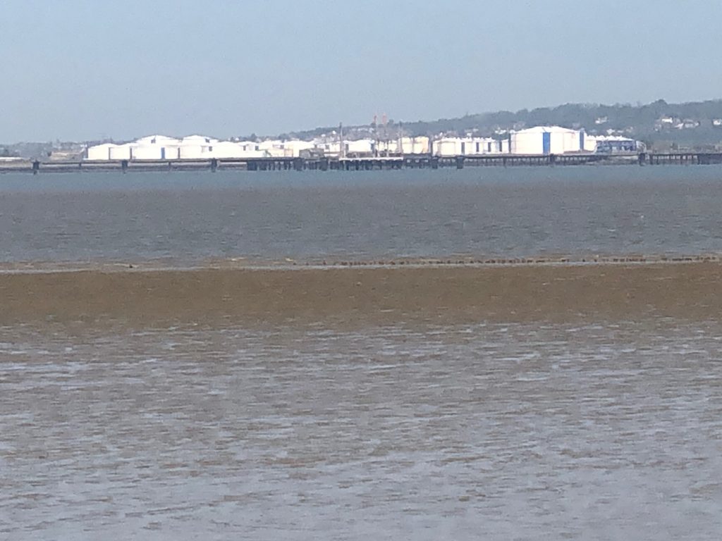
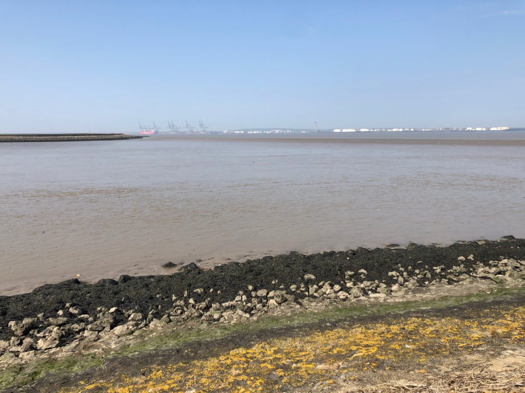
Open view of the marsh land contrasting with the high ground of Northwood Hill. Also shows the barreness of the marshes compared to the major international port and oil terminal on the Essex side of the River Thames. 270˚ Buckhole Farm. East well Farm North Kent Marshes, River Thames.
Saltfleet flats SPA
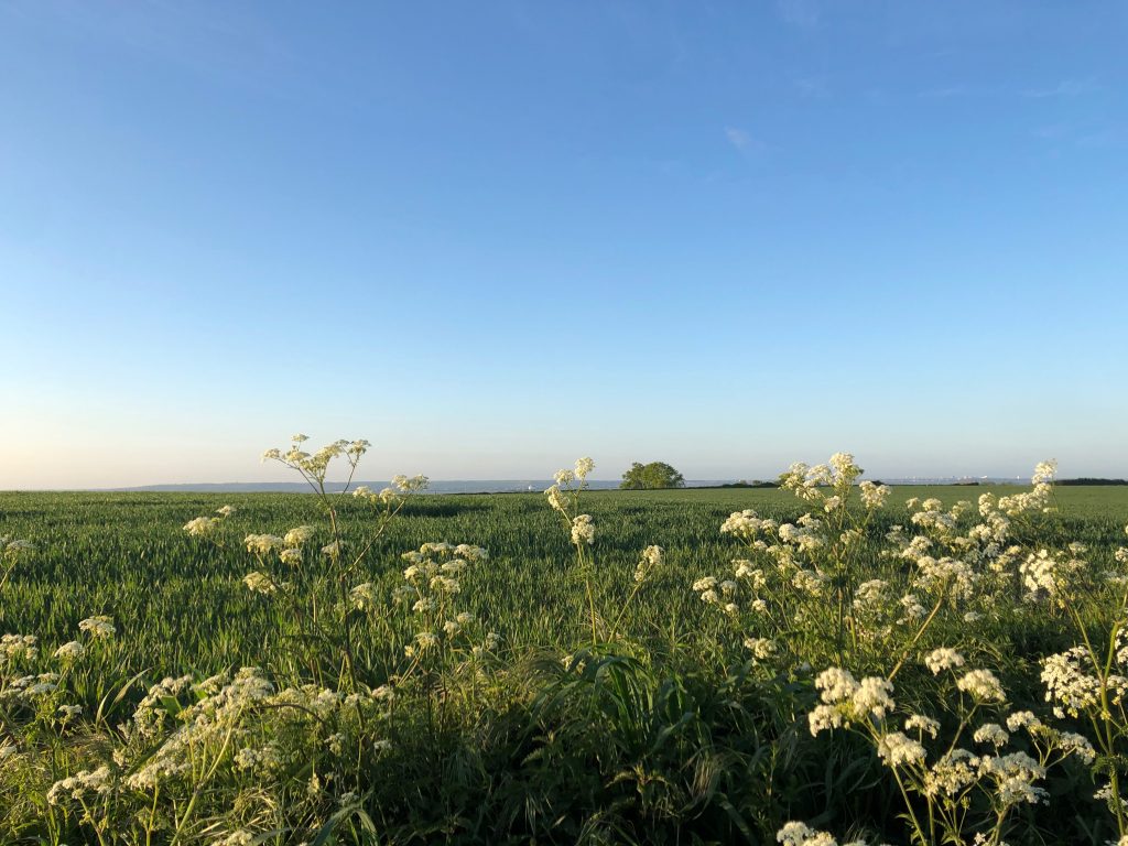
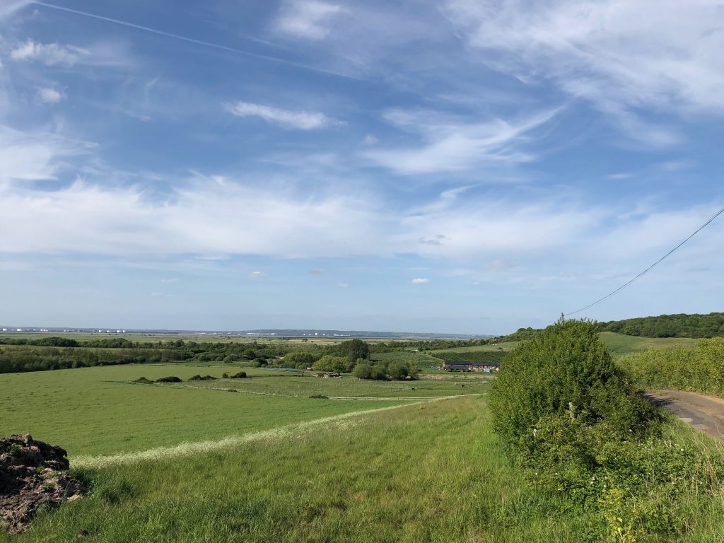
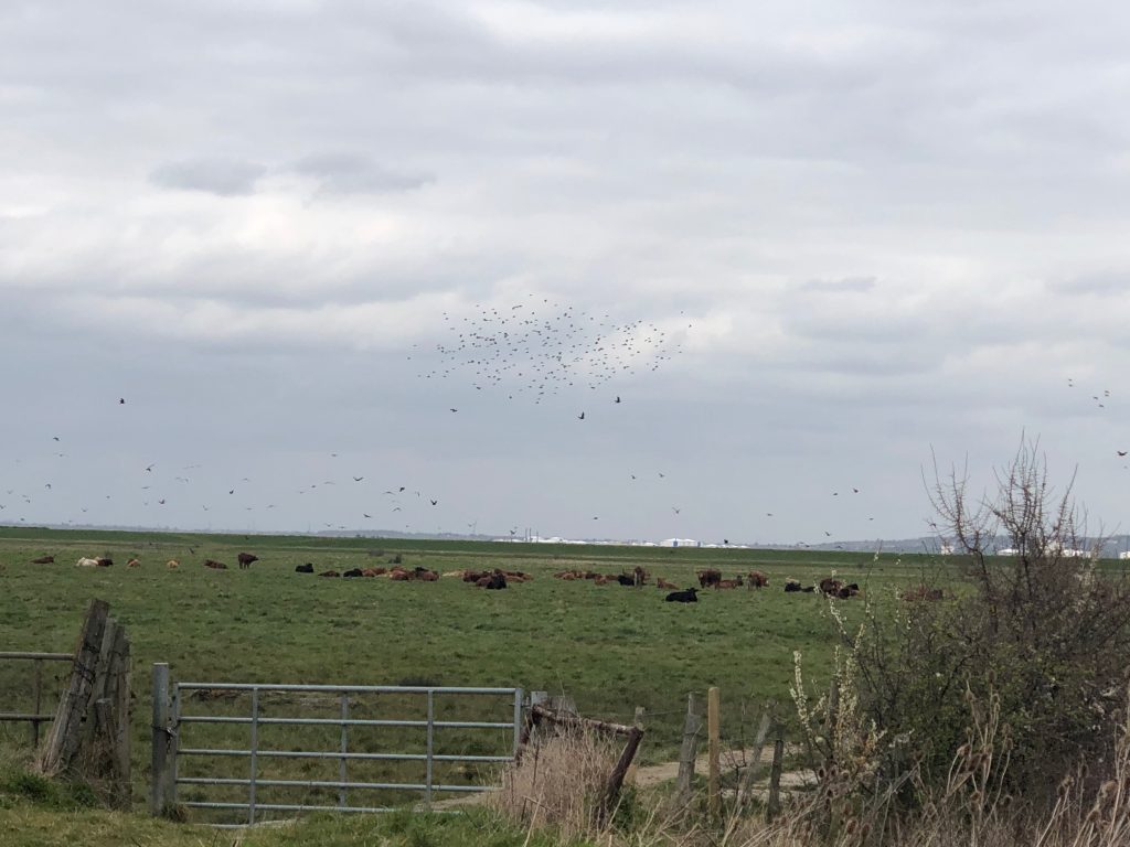
Sitting and watching wildfowl feeding the waters edge as the tide rises then making the short flight over the sea wall to continue uninterrupted feeding on the grazing marsh, give an insight to the importance of the seemingly baron and forbidding landscape. This landscape as a raw beauty once so famously described by Charles Dickens in his open words of Great Expectations, “Ours was the marsh country, down by the river, within, as the river wound, twenty miles of the sea. My first most vivid and broad impression of the identity of things, seems to me to have been gained on a memorable raw afternoon towards evening. At such a time I found out for certain, that this bleak place overgrown with nettles was the churchyard; ….; and that the dark flat wilderness beyond the churchyard, intersected with dykes and mounds and gates, with scattered cattle feeding on it, was the marshes; and that the low leaden line beyond, was the river; and that the distant savage lair from which the wind was rushing, was the sea” 360˚ views of River Thames Egypt Bay The Halstow Marshes, Cooling Marshes Northward Hill National Nature reserve Shades House Container port.


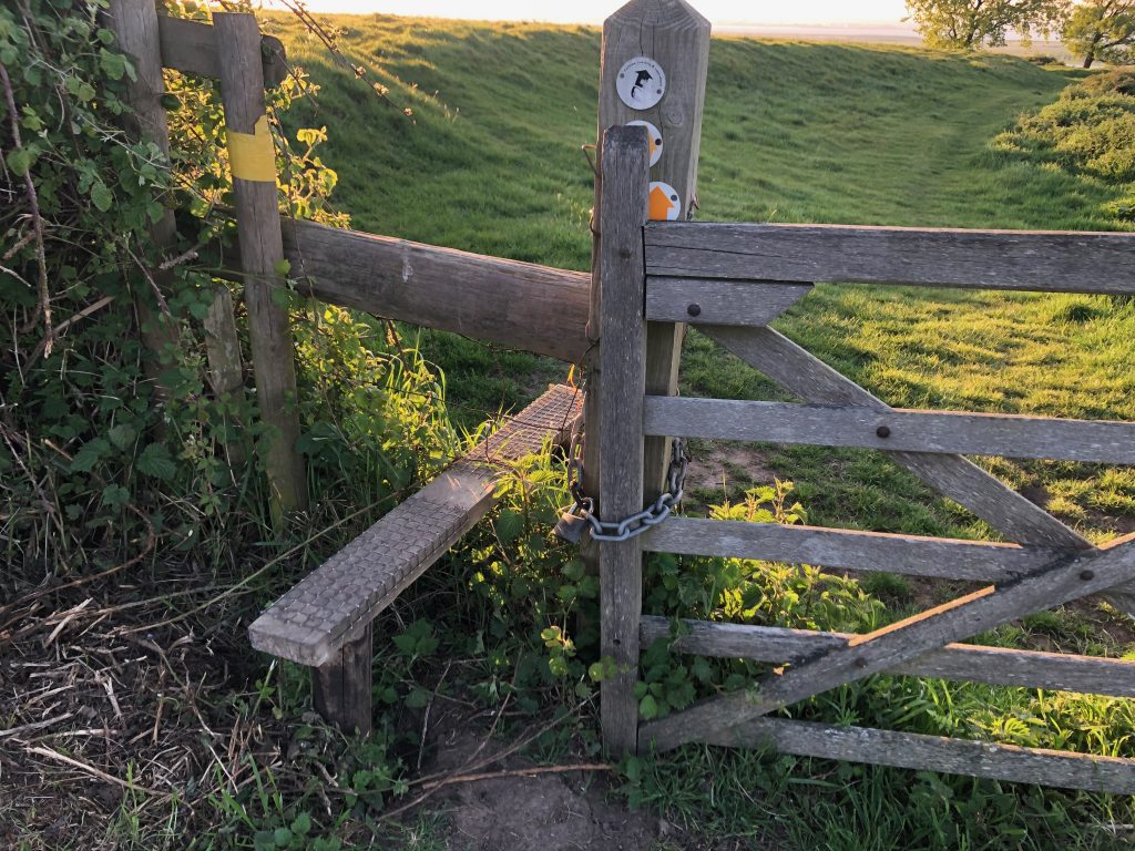
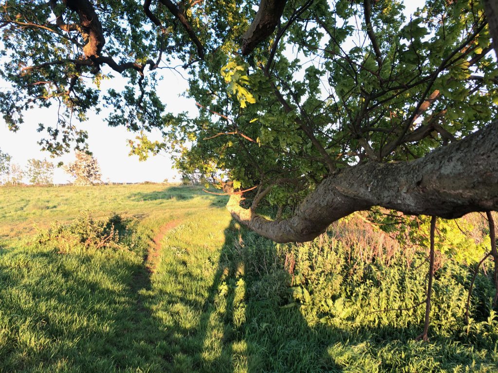
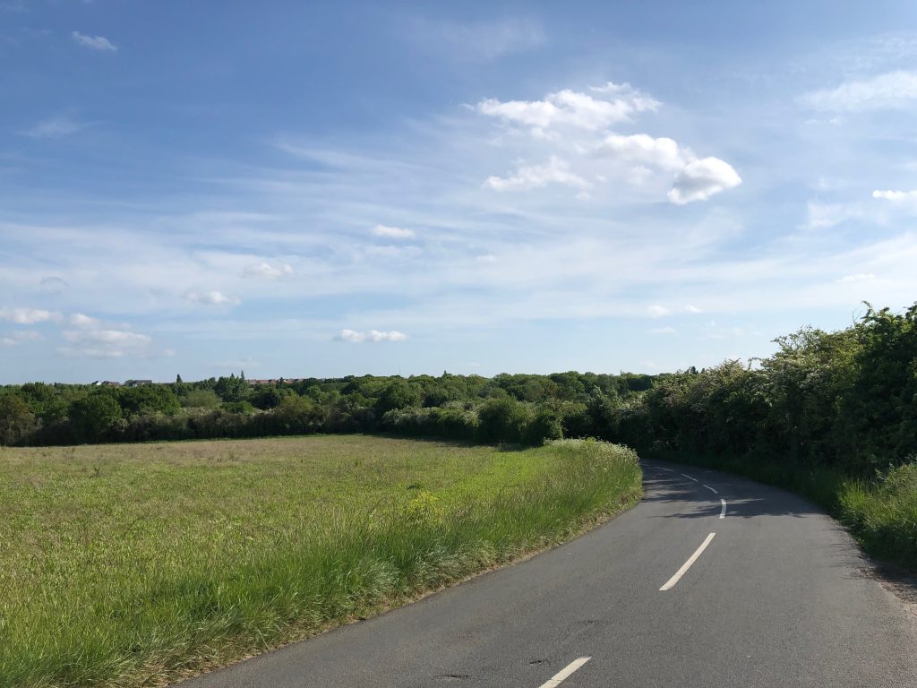
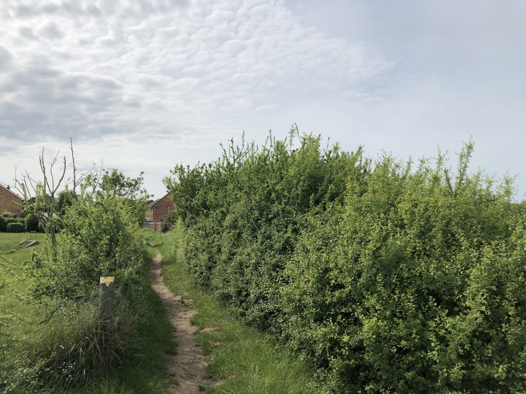
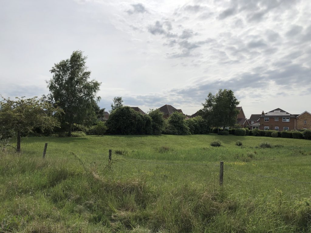
Intersection of Wybournes Way with western boundary of village
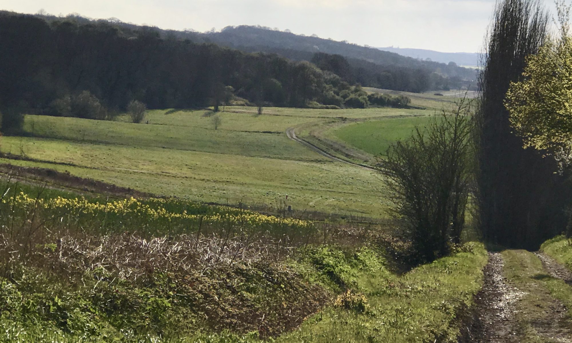
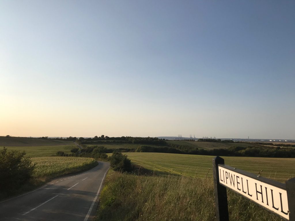
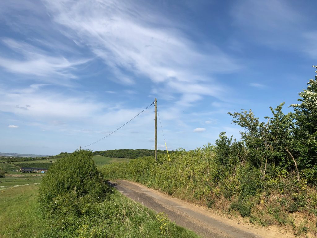
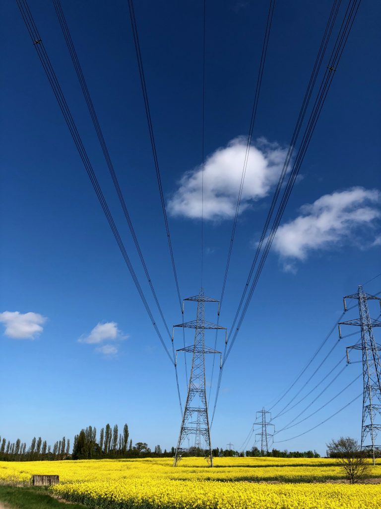
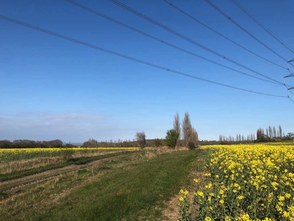
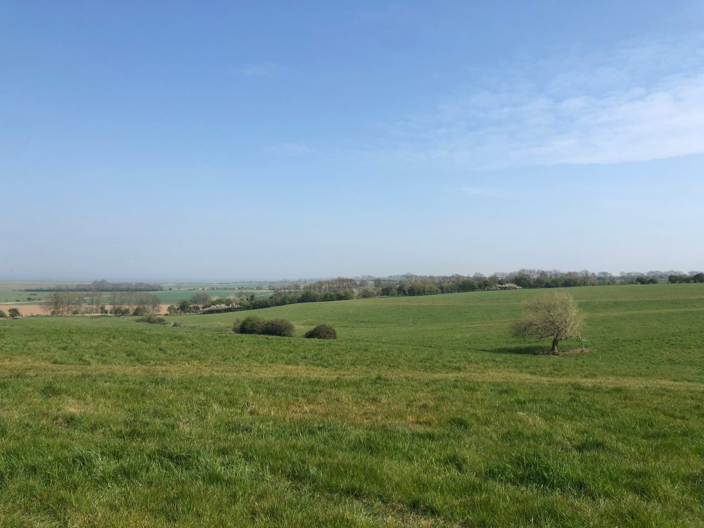
An important Landscape feature here shows the escapement of the North Kent Downs and its connection with the Marsh and the river Thames Beyond. 360˚ views River Thames. Lodge Hill Wood Spendif towards Higham.


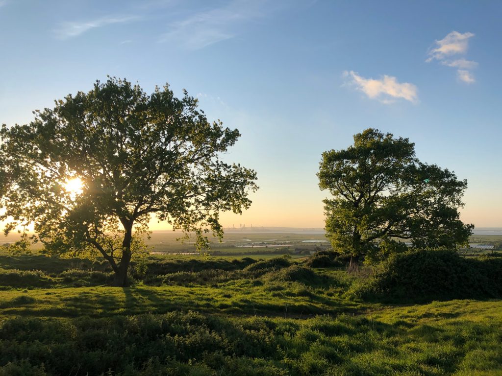
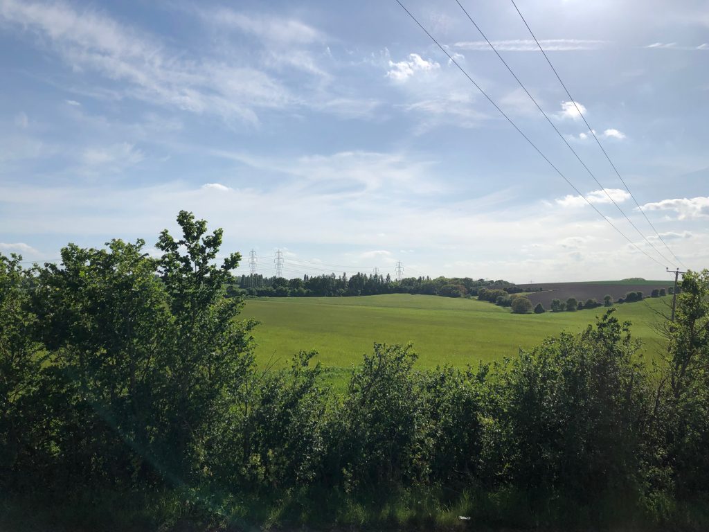
From RS 45 highest point
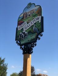
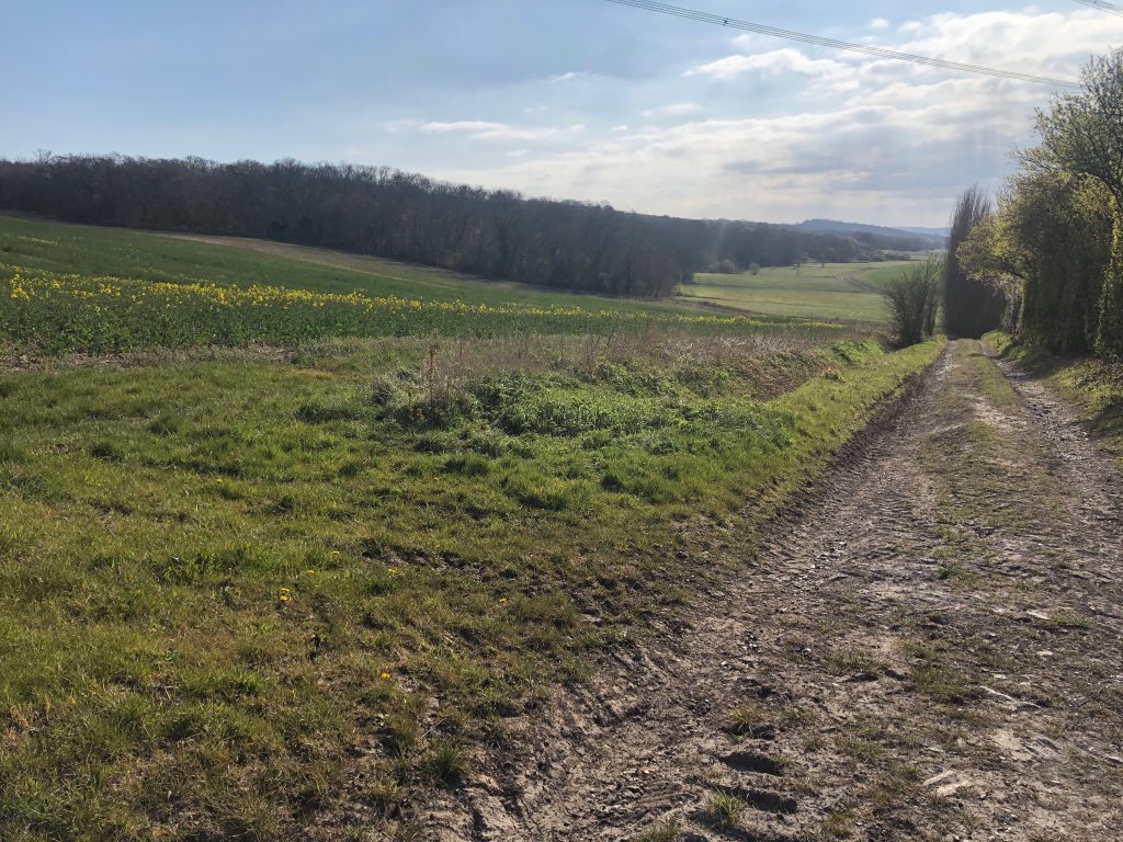
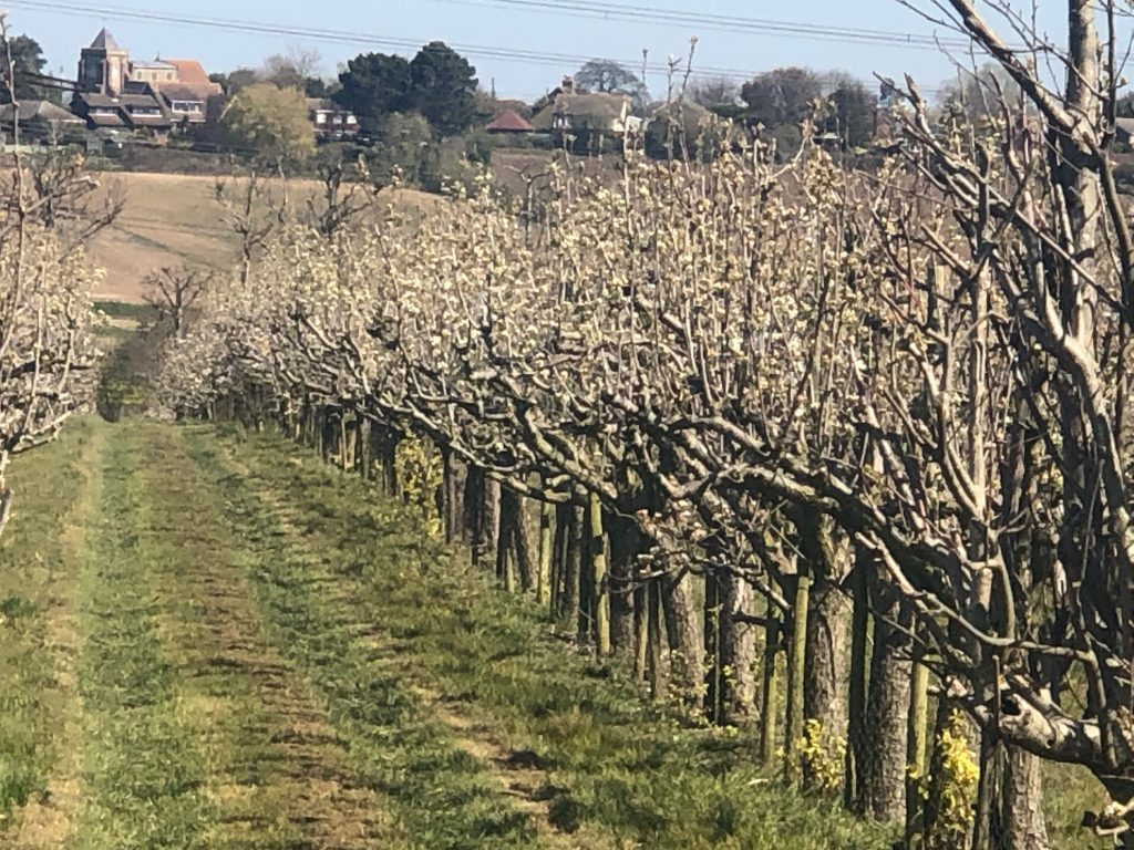
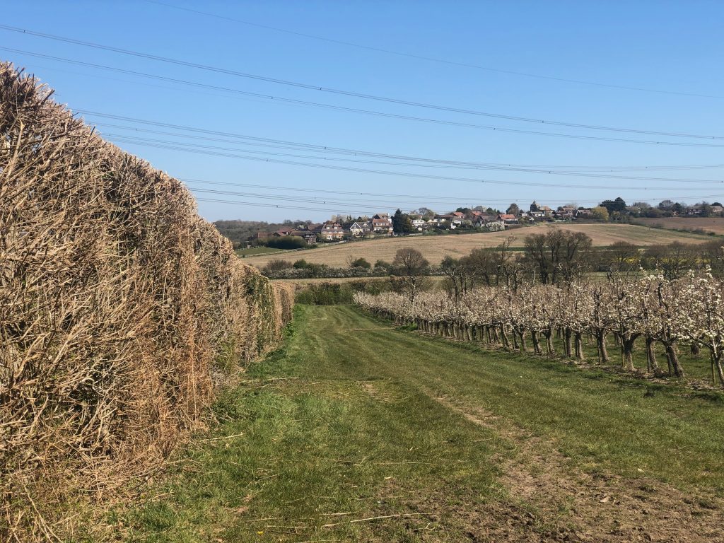
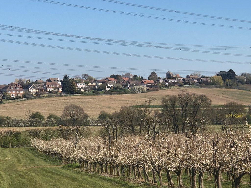
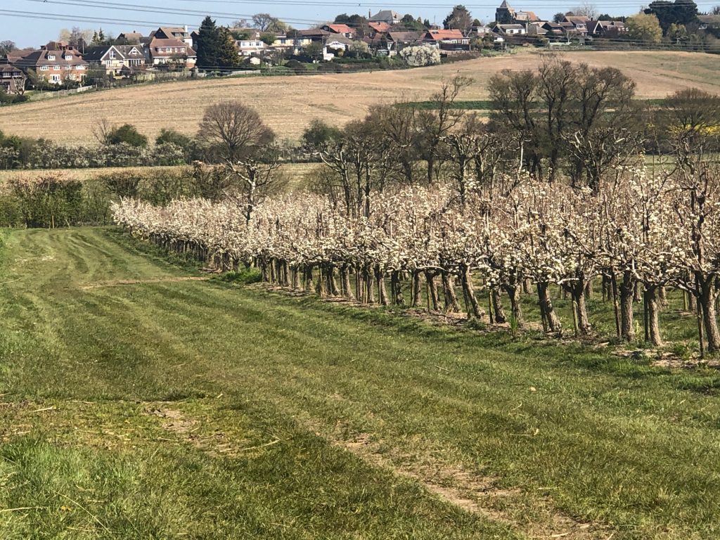
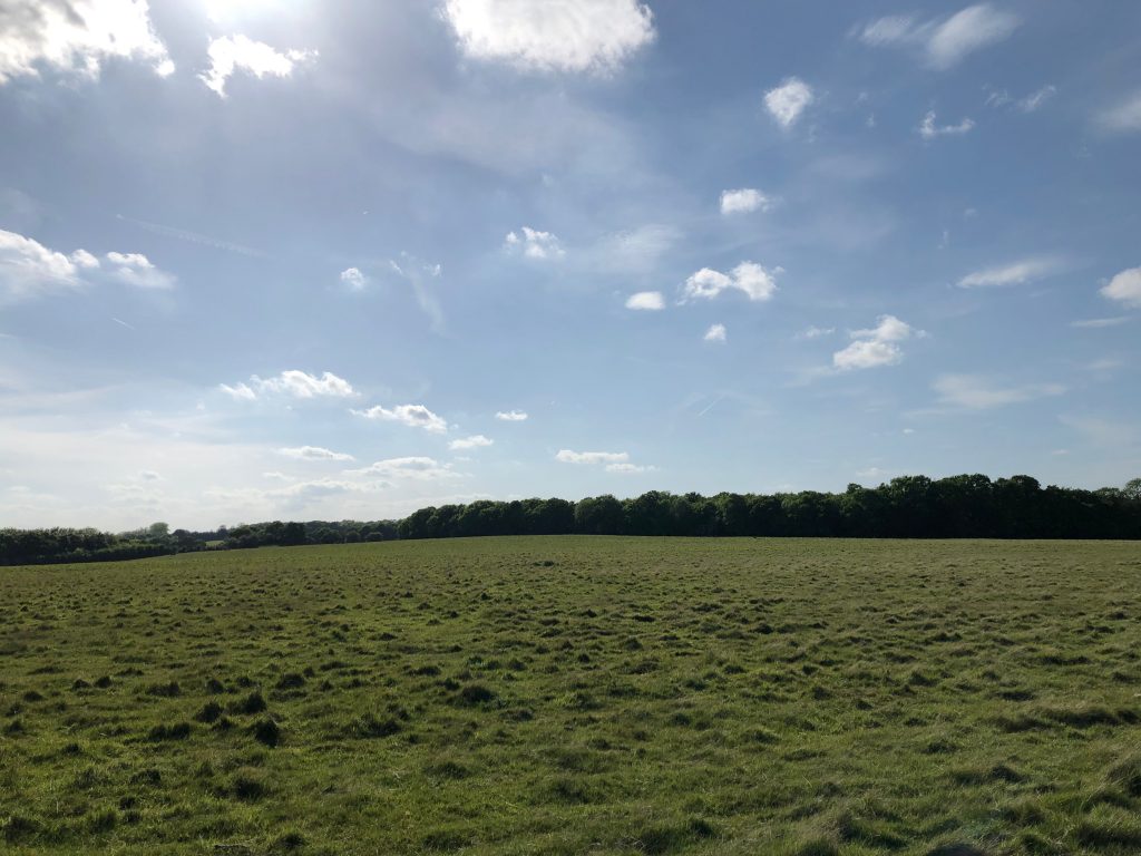
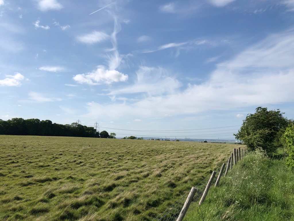
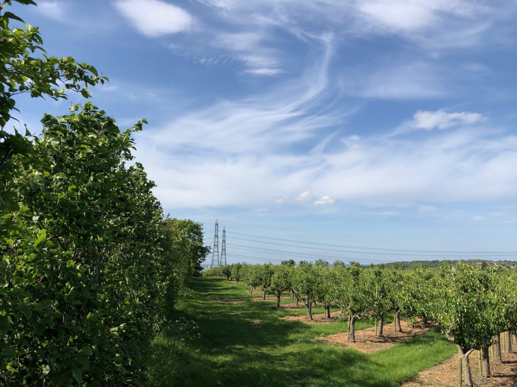
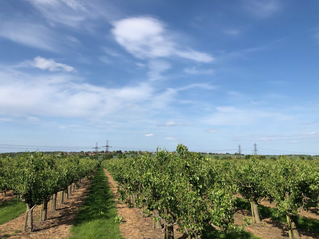
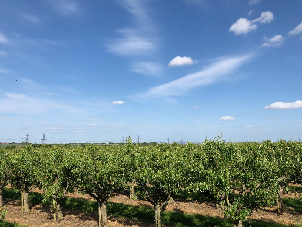
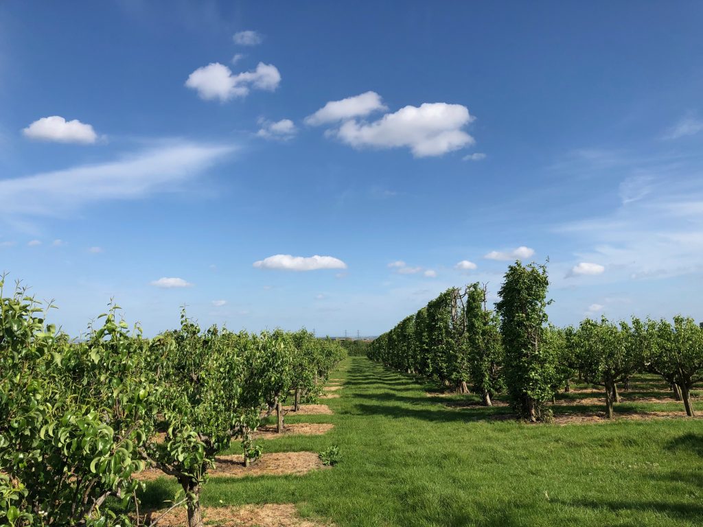
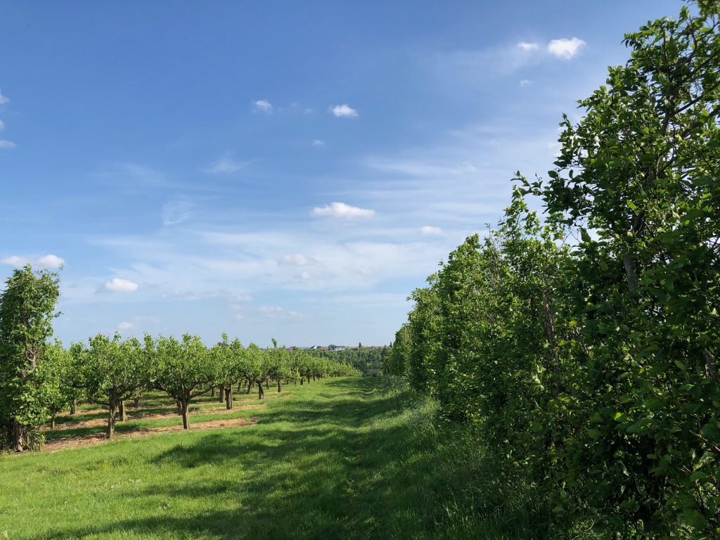
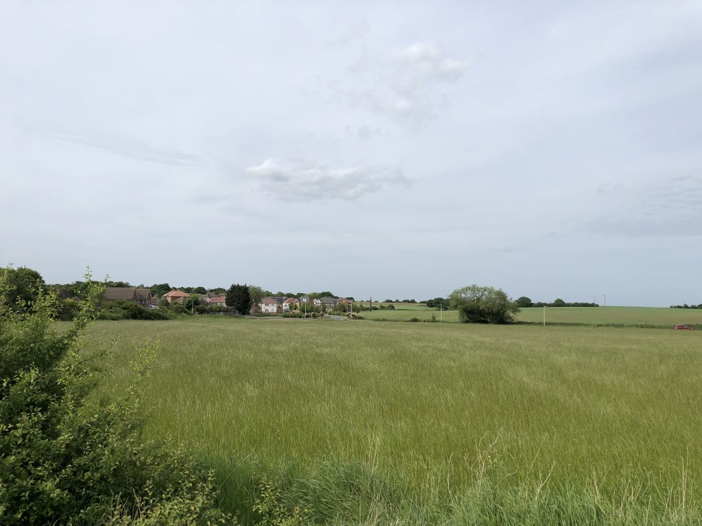
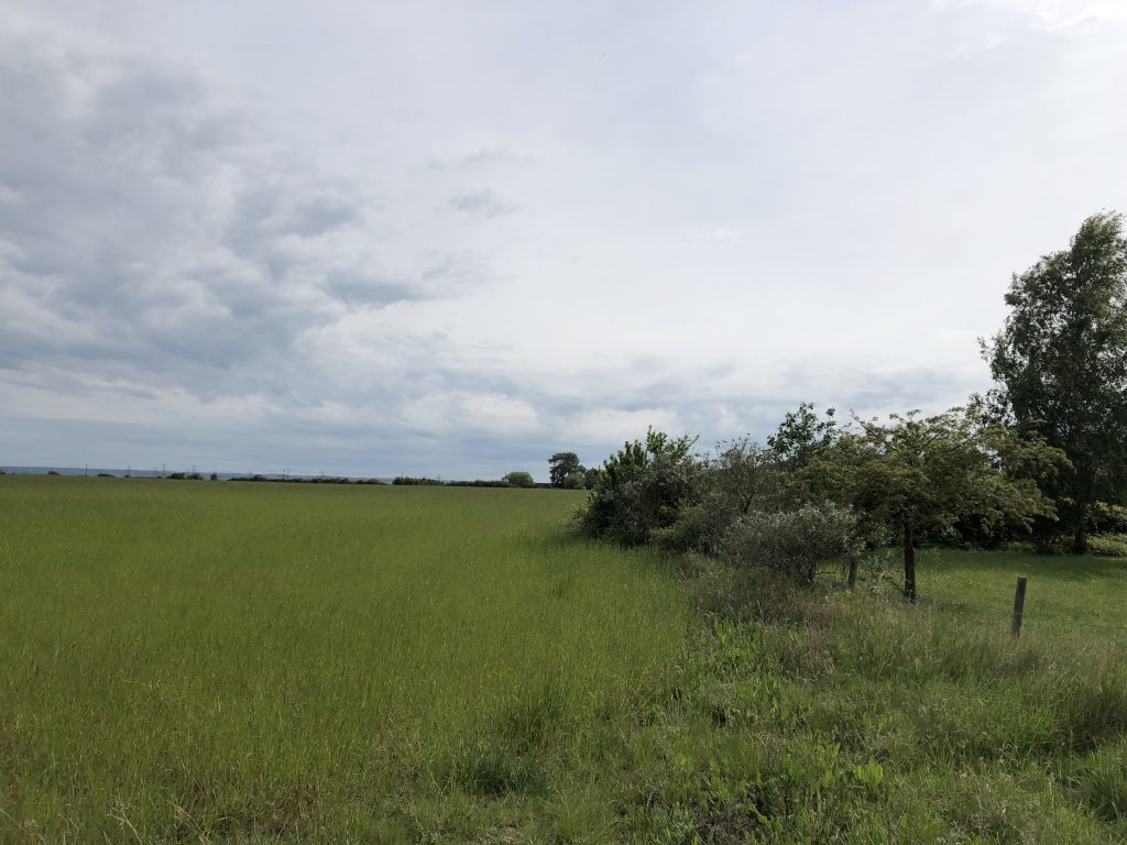
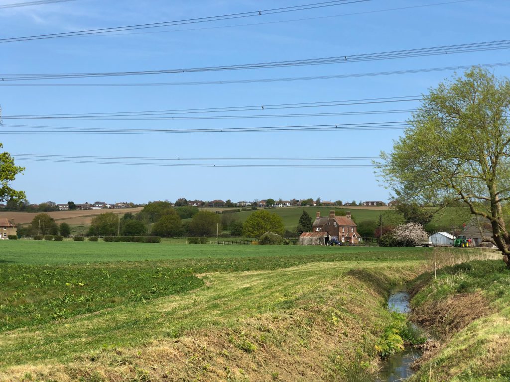
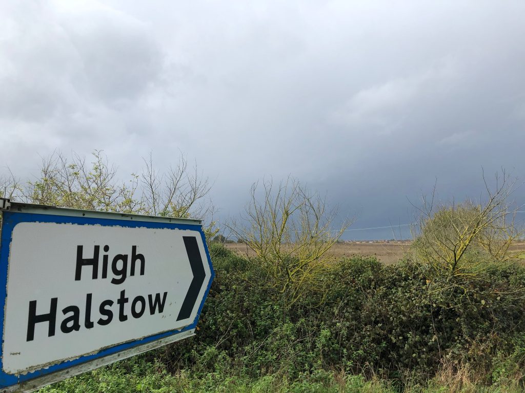
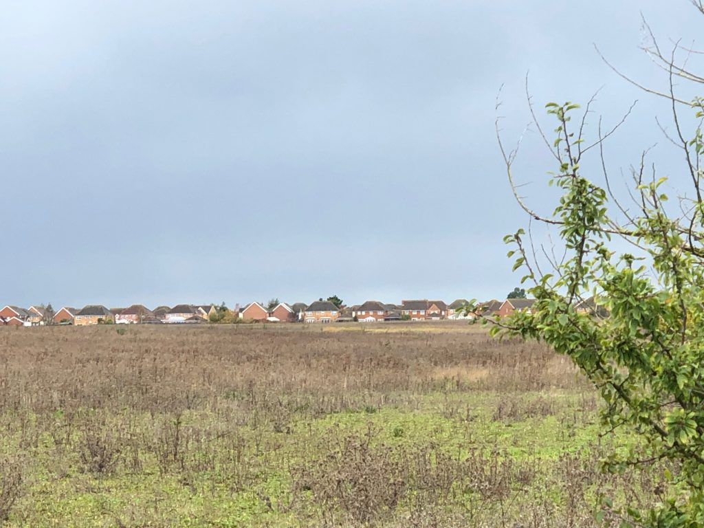
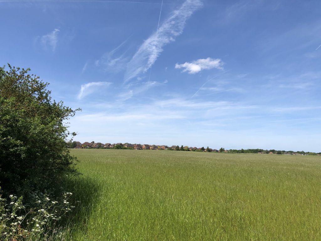
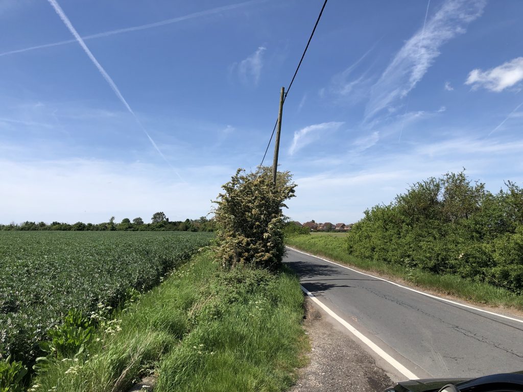
Views give an indication of the isolation of High Halstow village from other major communities surrounded by the farms that initially made the community. 360˚ views of the south side of the village across orchards. Solomons farm, Wybournes Farm, River Thames towards Gravesend, Lodge Hill

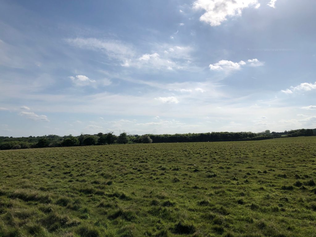
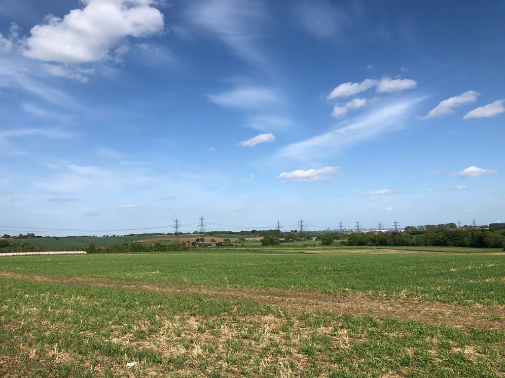
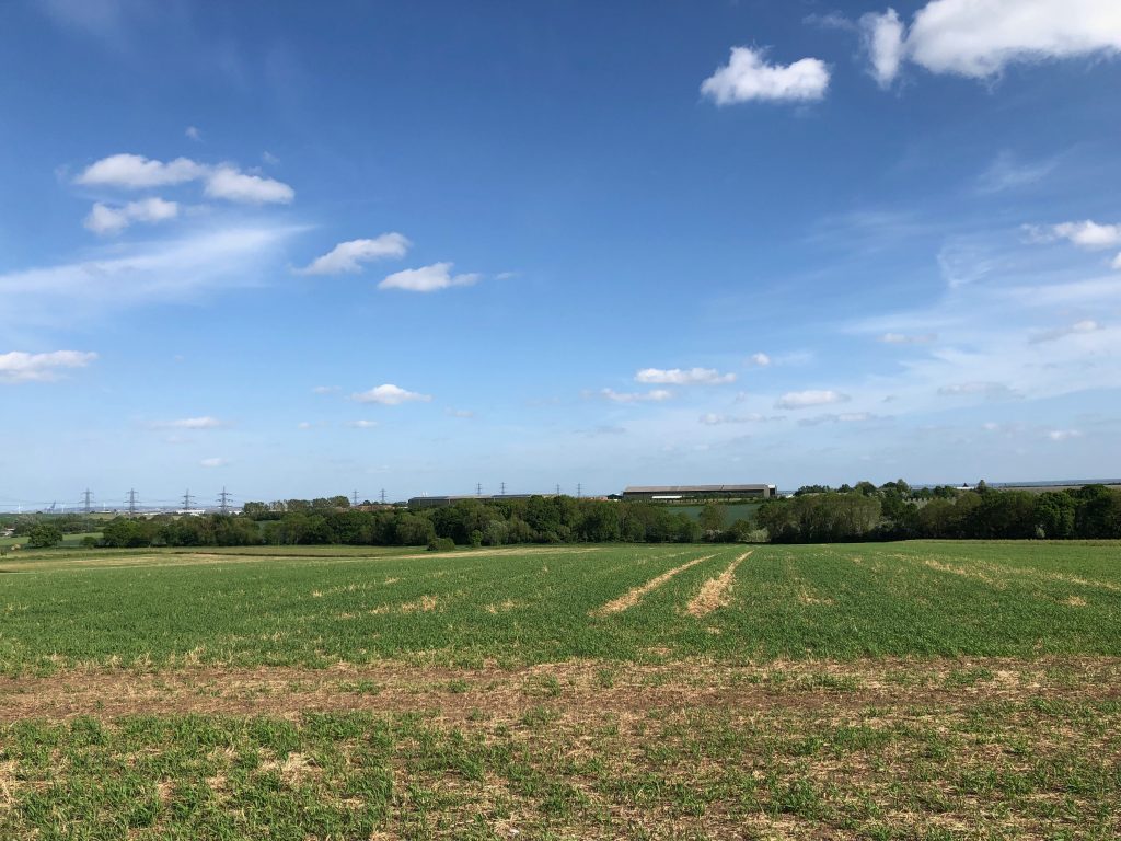
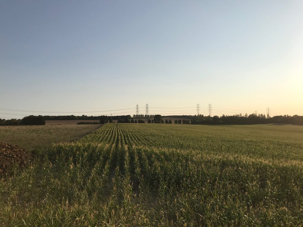
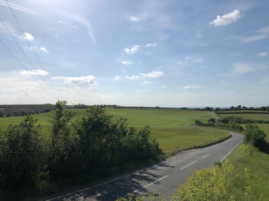
RS 44 East of village
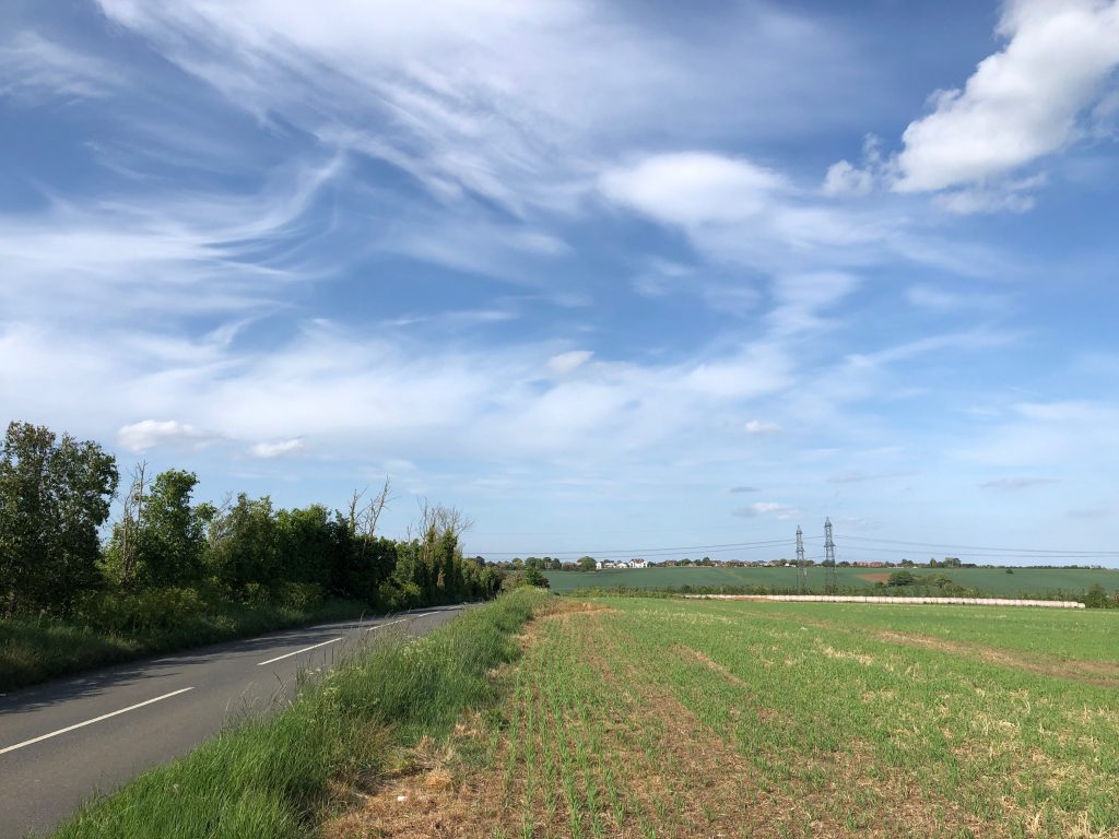
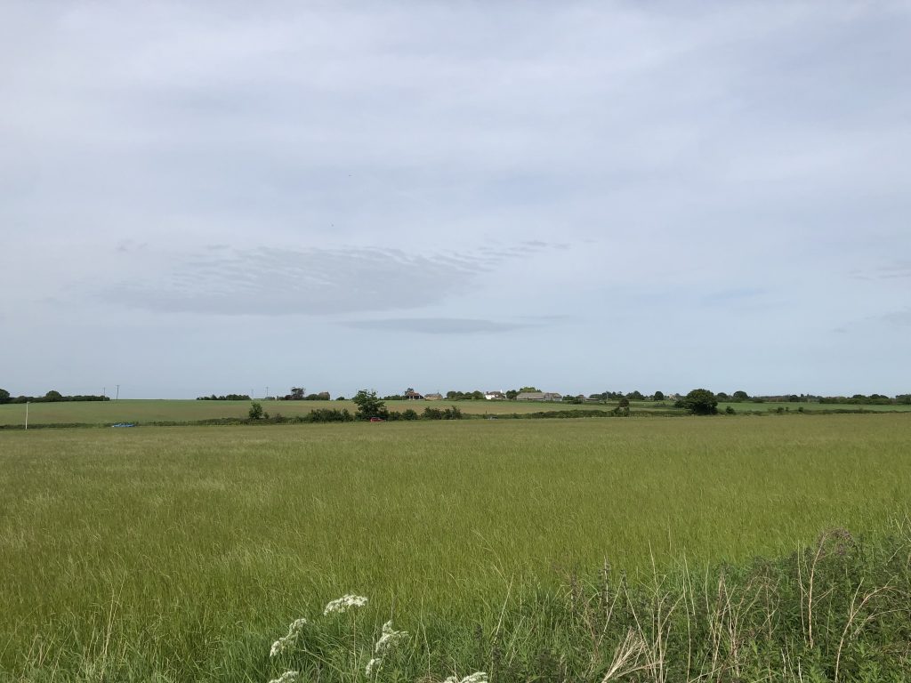
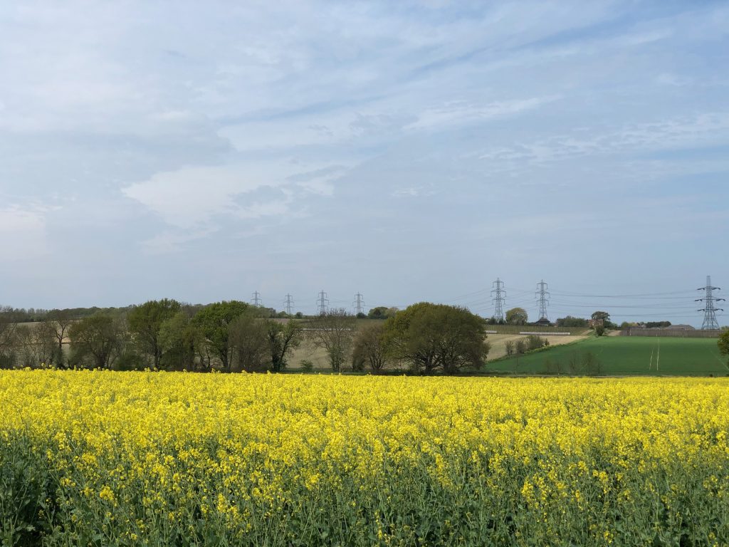
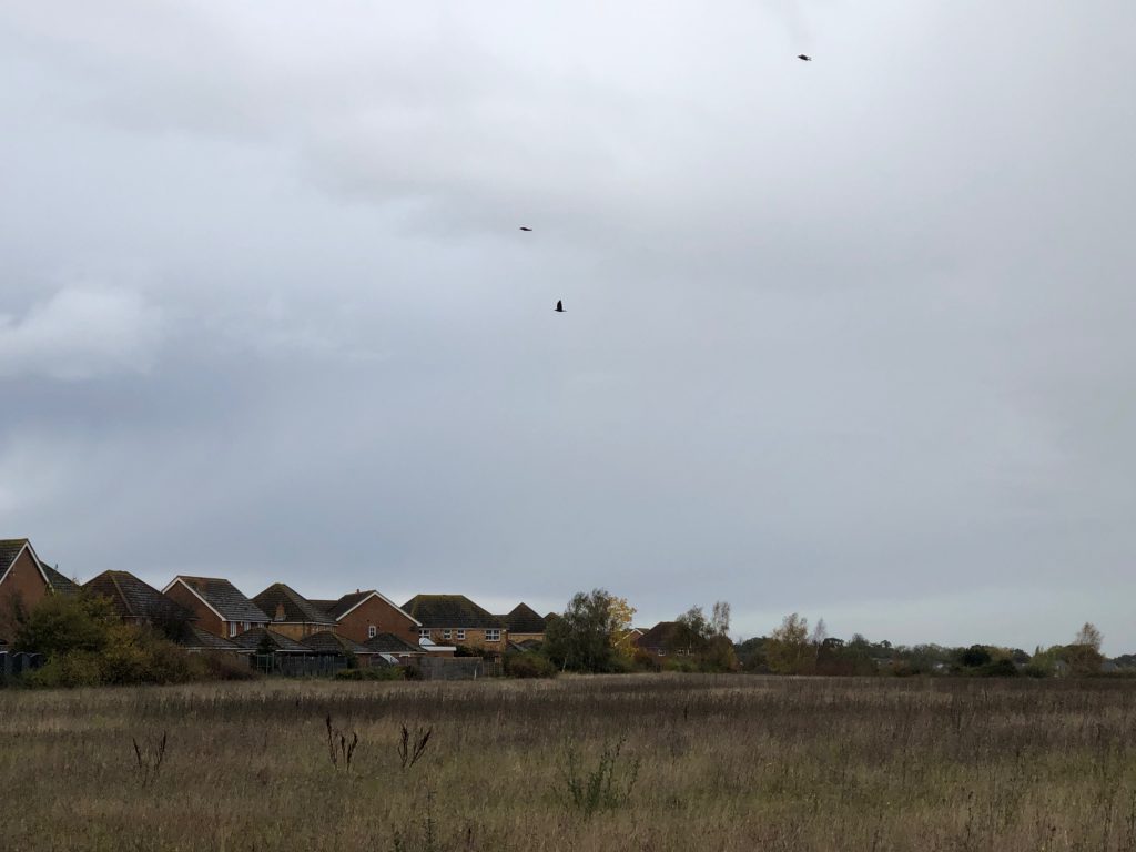
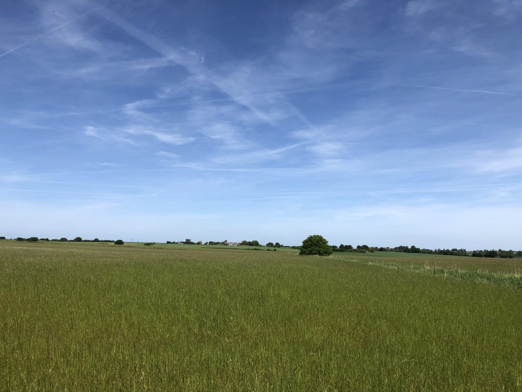
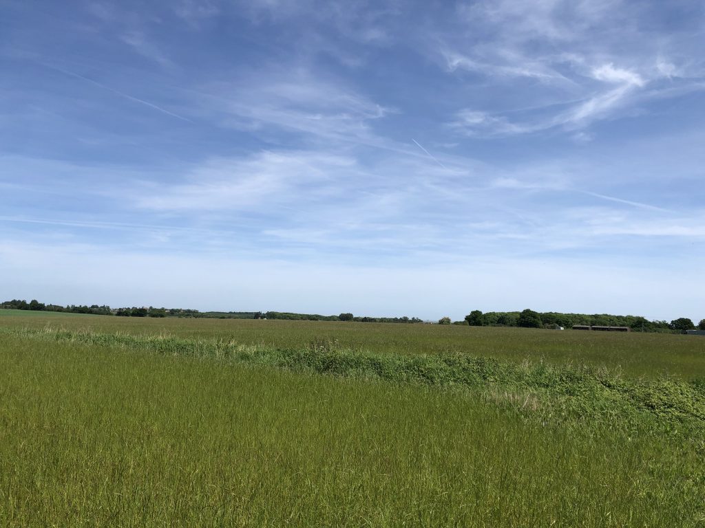
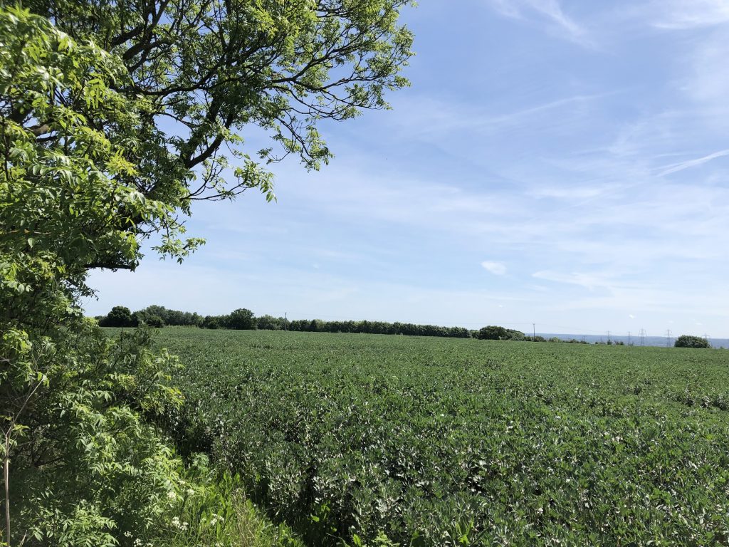
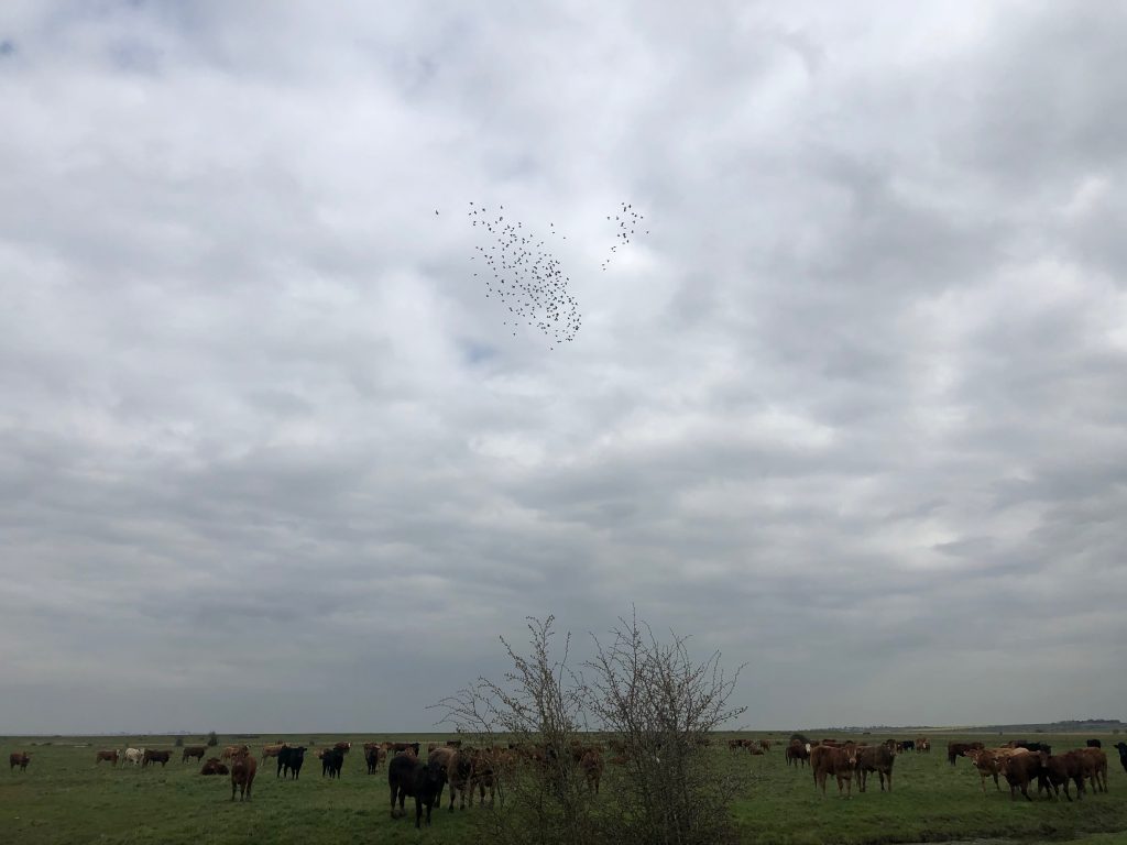
As you emerge on RS44 between the houses at the back of Half moon way and via the settling pond. The vista opens out towards the East of the village and St Mary Hoo Grain and Sheppey beyond on to open agricultural land. Travel east on RS 44 to Jacksons Corner before turning south towards Christmas and views towards Hoo and the Medway Towns. This area is an excellent place to watch and listen the Skylarks in the summer months.

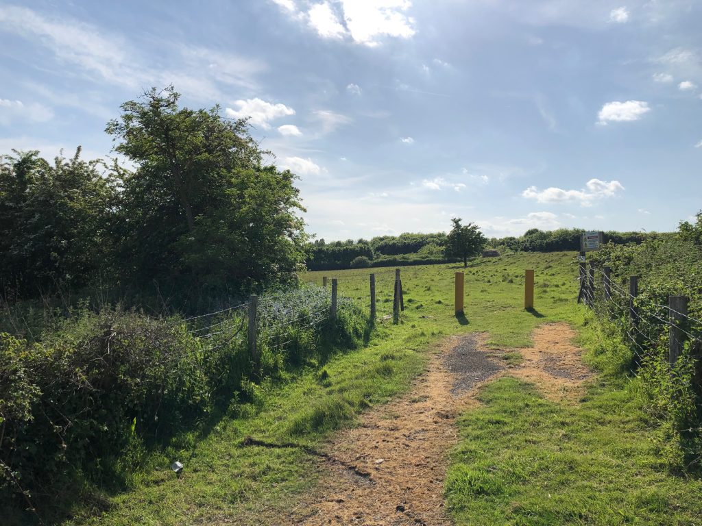
intersection of RS46 with south of old Chattenden and Upnor railway
Provides for a historical look at the past when munitions were made on the peninsula. This railway line would have been the height of activity during the two world wars. This view point is situated on the site of the old Chattenden & Upnor branch line who’s route is visible Westwards towards the site of the old bridge at Dux Court Road and Lodge Hill beyond. 360˚ views of Site of old Chattenden railway views of Solomons farm, the village and farmland
RS 46 Rear of Christmas lane
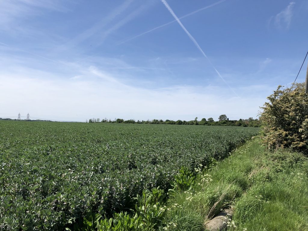
This shows the ‘green wedge’ between High Halstow and Hoo St Werburgh which is imortant to retain to reinforce the separate sense of identity of these places. It provides a view across Solomons Farm where the route of the Hundred of Hoo Railway and its bridges across Dux Court Road. The line of the Chattenden & Upnor branch is visible as well as the old site of Sharnal Street Station. 180˚ views of Solomons Farm, Orchards, Dux Court road towards Ratcliffe Highway

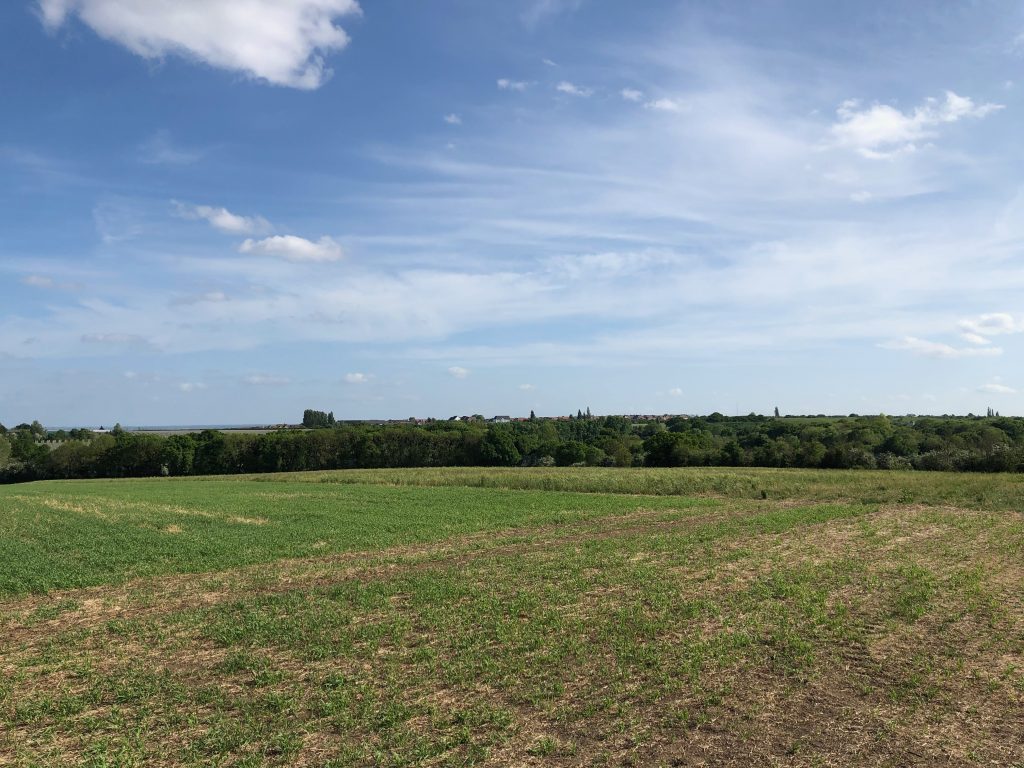
Christmas lane 360 degree
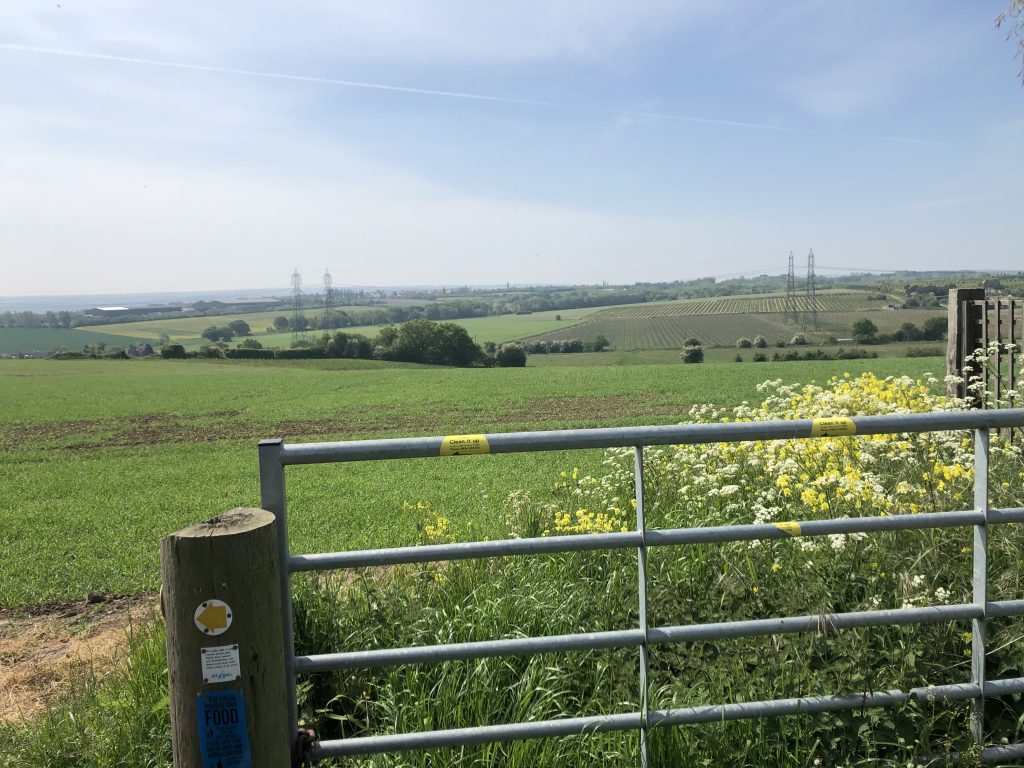
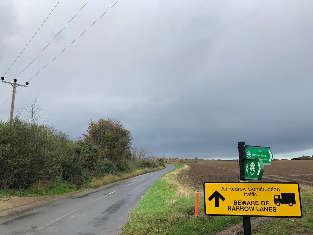
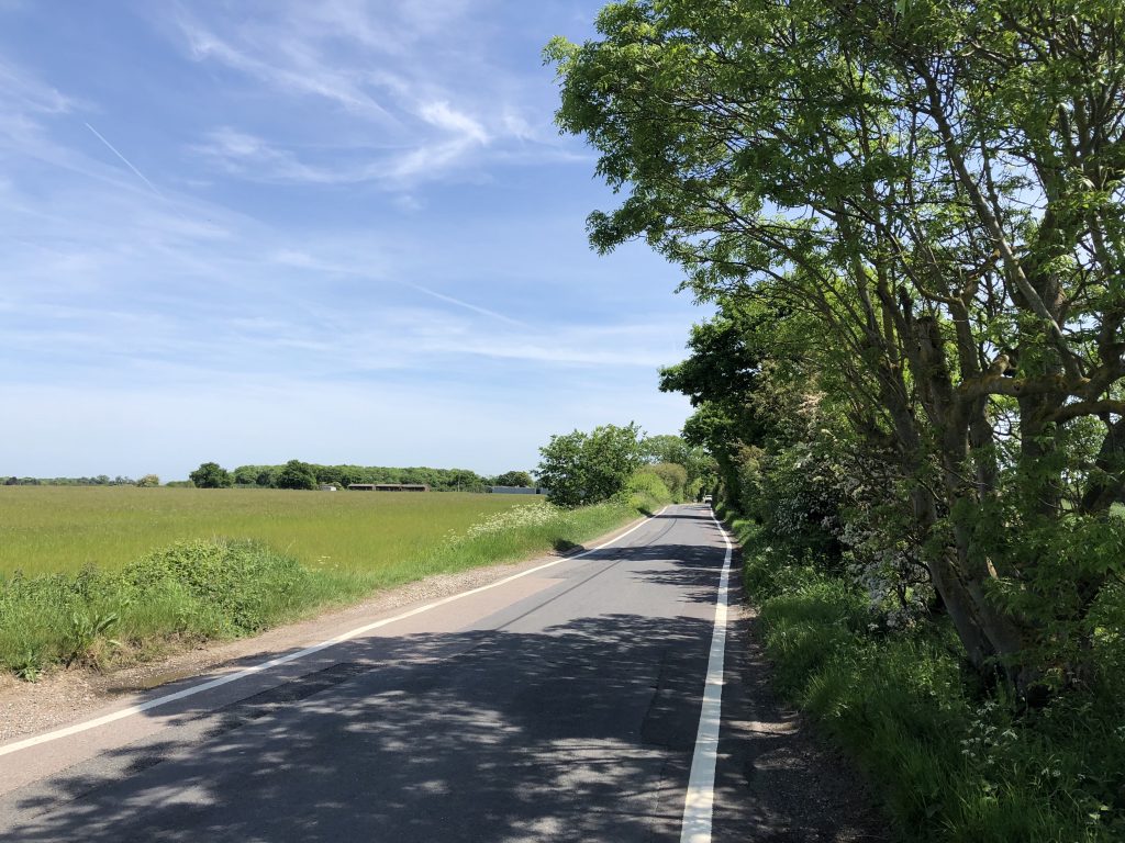
Christmas Lane is the main Entrance into the village and connection with Sharnal Street in the East. Running down the spine of the Hoo Peninsula North Downs escarpment it affords clear views to the North East and South with the village to the west. 360˚ views of the Eastern end of the Hoo Peninsula.
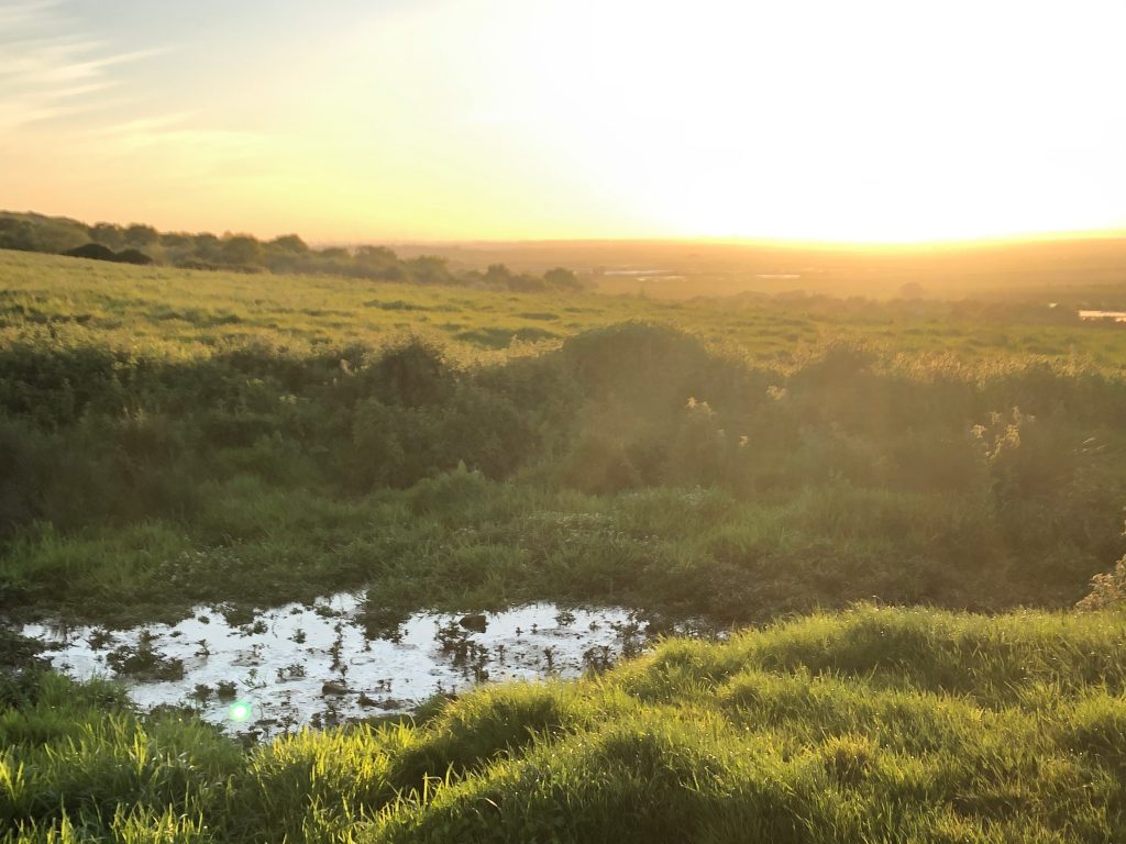
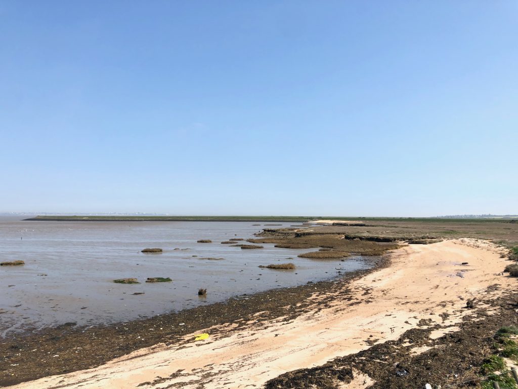
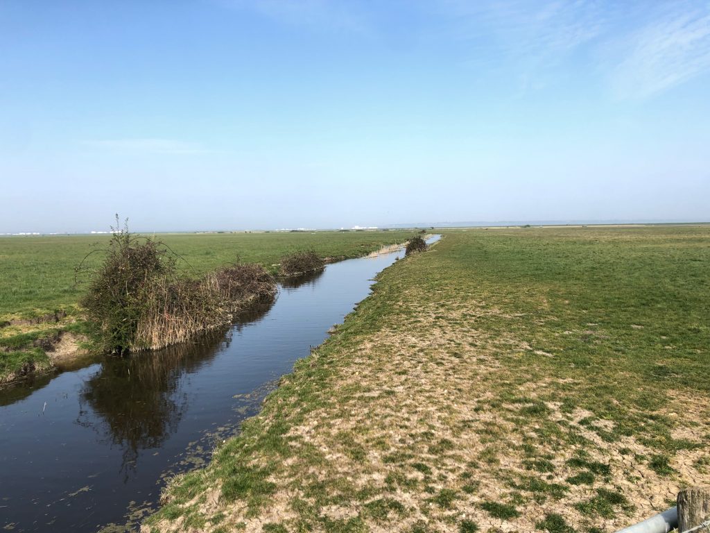
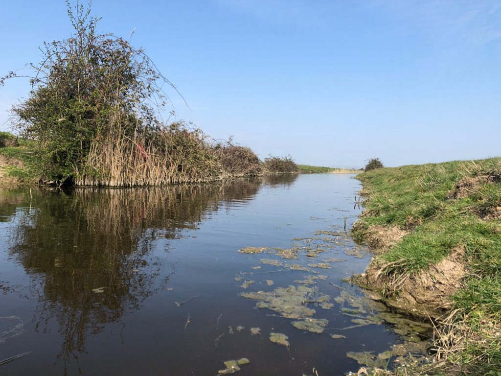
On Manor Way in the marsh
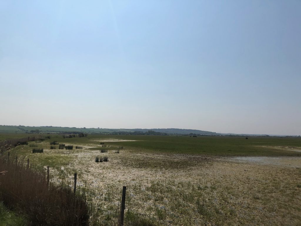
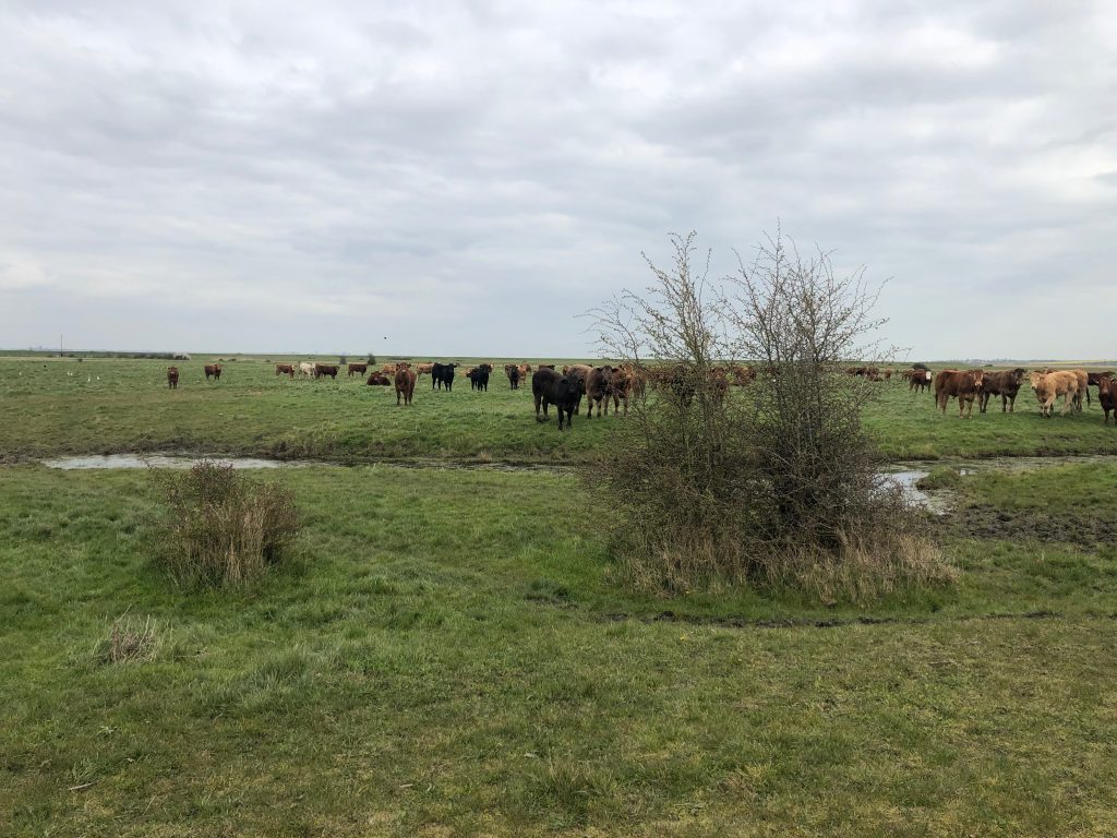
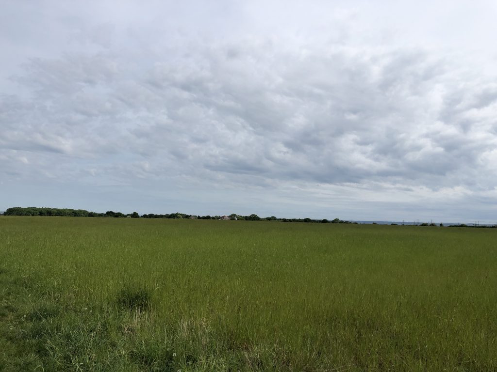
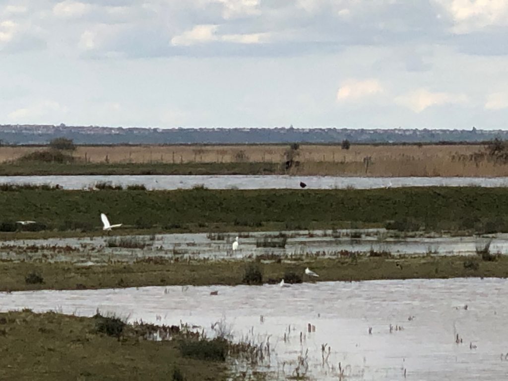
Walking Manor Way you get a feeling and view of the importance of the grazing marsh so vital for wintering wildfowl when the tide rises and the inertial habitat becomes hidden. 360˚ views of the heart of Halstow Marsh SPA, Northward Hill, Shades House, St Mary’s Marsh.


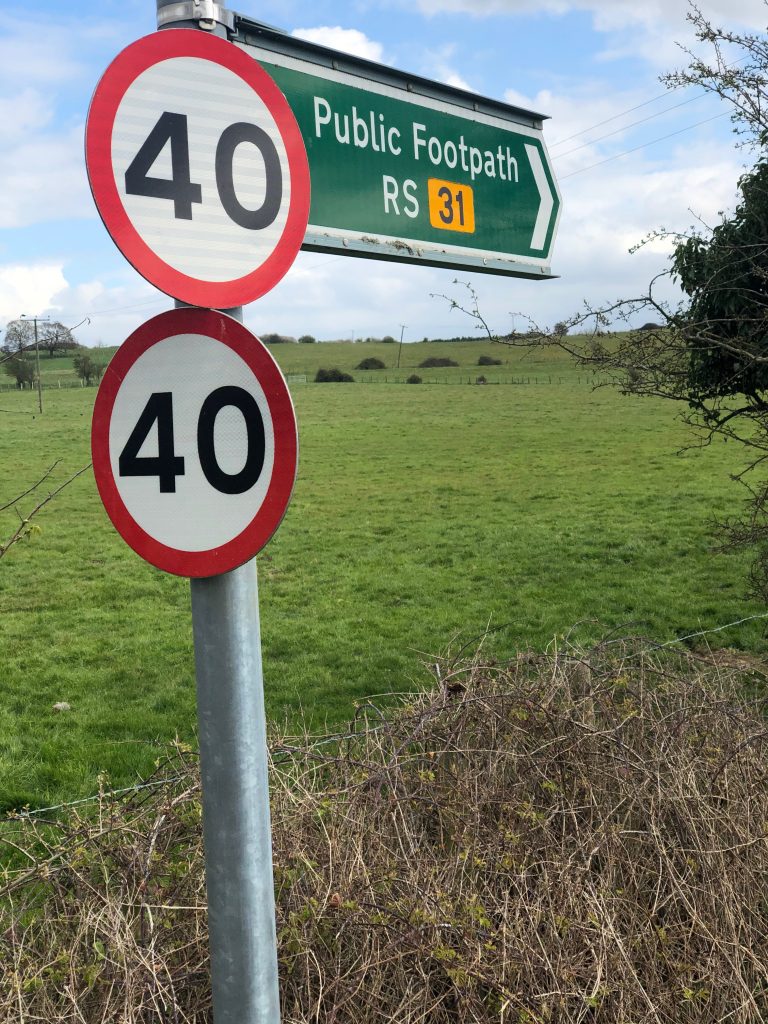

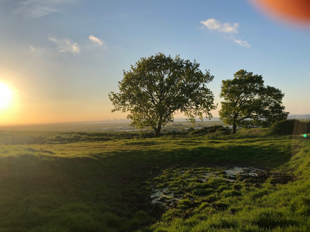
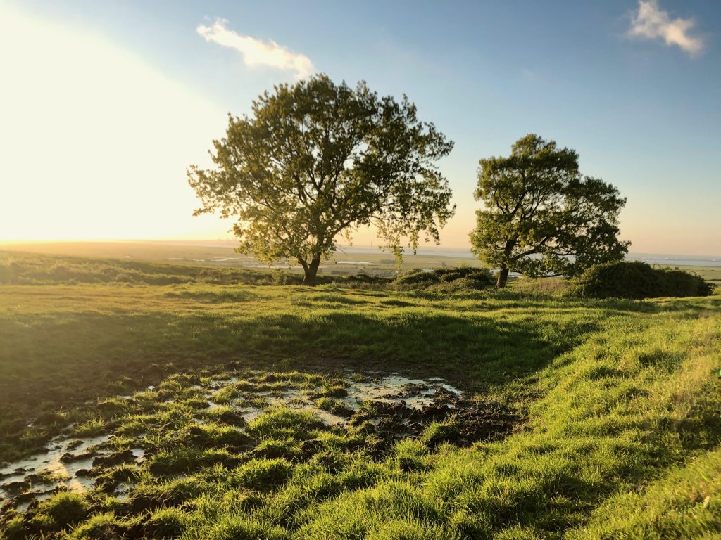
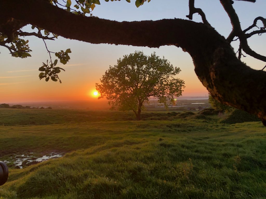
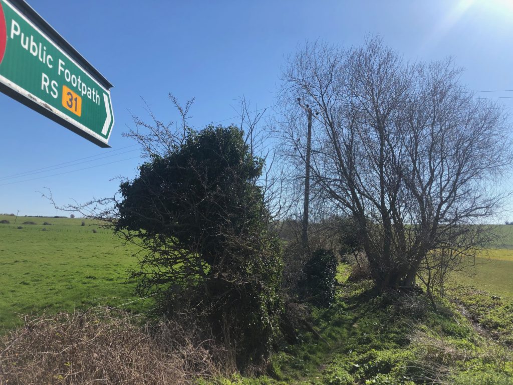
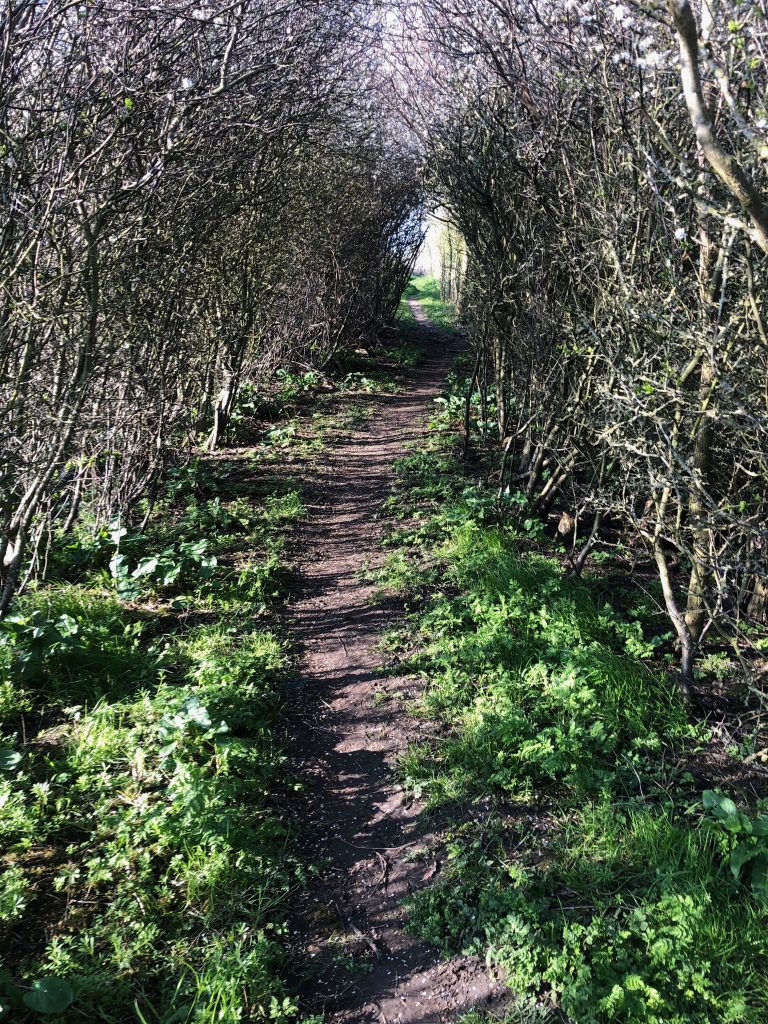
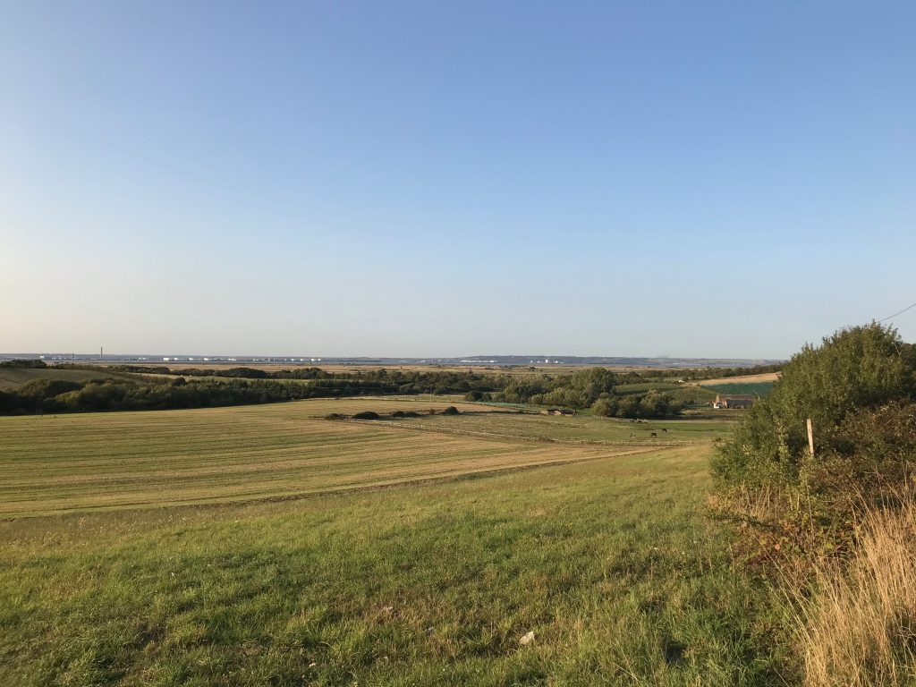
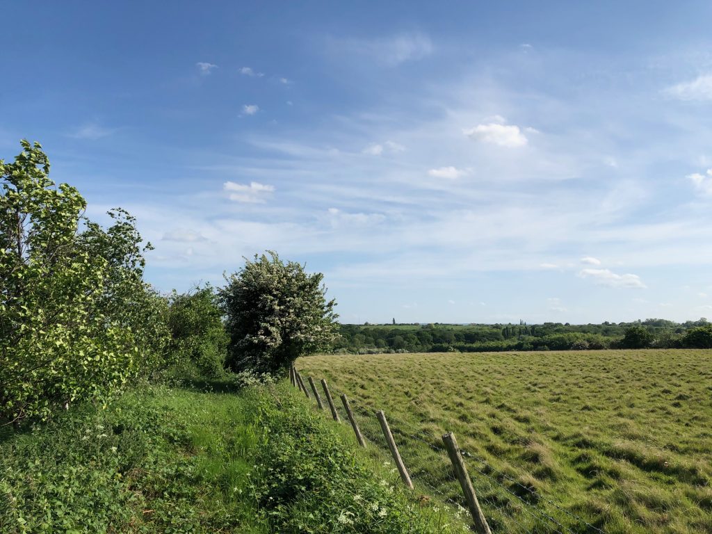
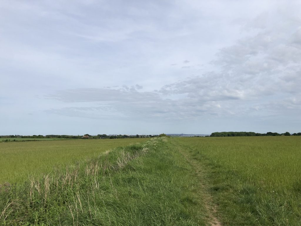
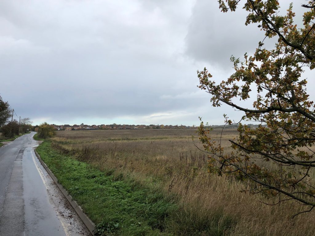
On Bessies lane RS31 at the spring on top of the hill
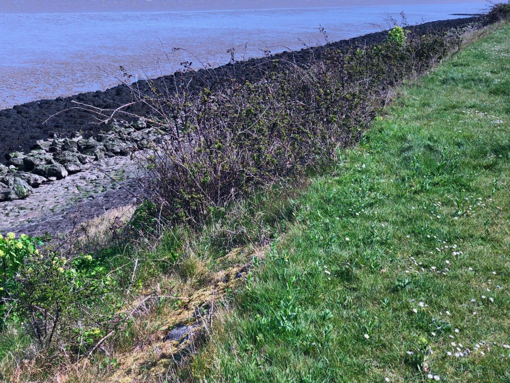
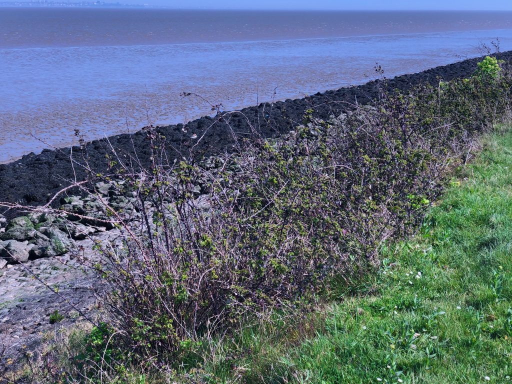
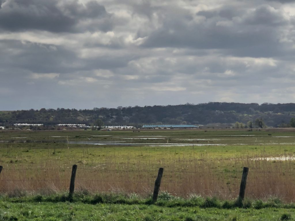
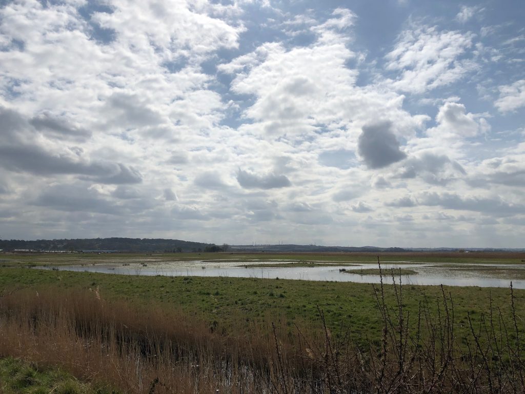
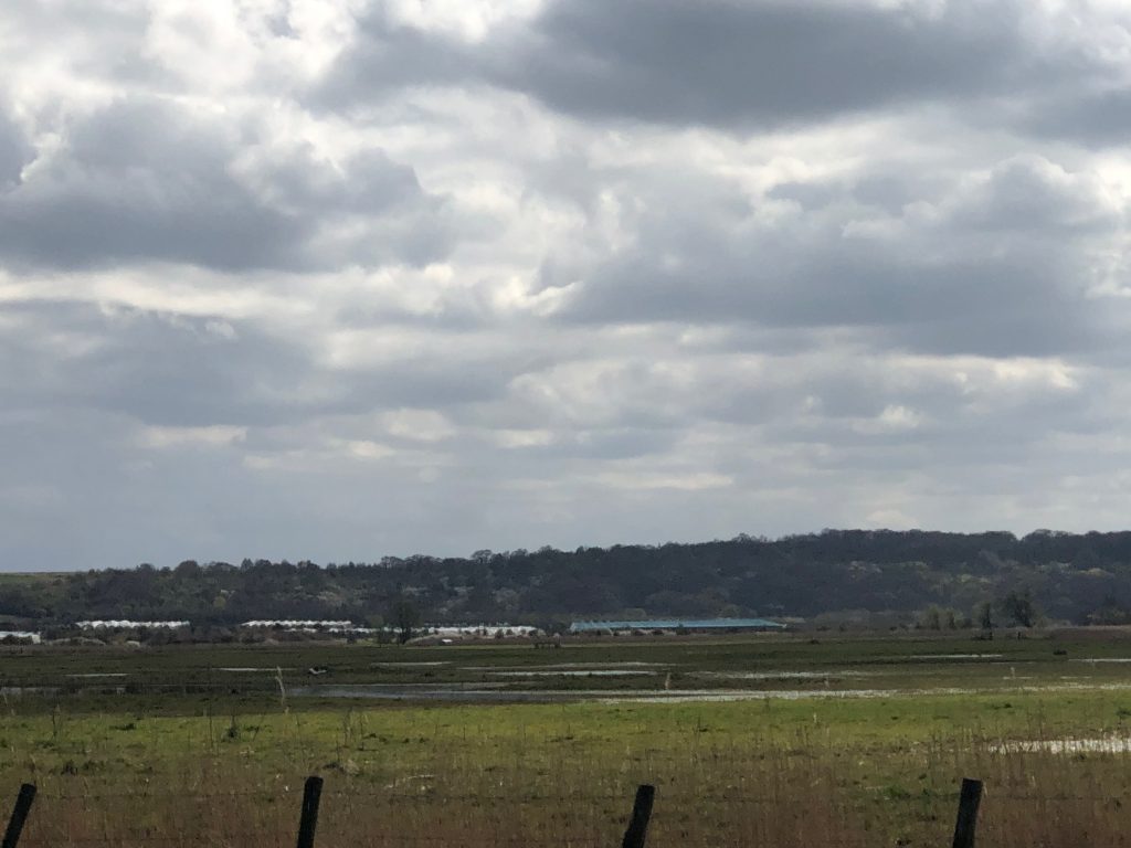
Walking North along Bessies Lane to this view it is clear to see the extent of the Cliffe, Cooling, Halstow, St. Mary’s and Allhallows marshes to the North and the Medway Estuary marshes to the South and the part Northward hill has to play. Much of the peninsula and its surrounding intertidal habitat is heavily protected under the Bern Convention. Like the North Norfolk coast the Peninsula forms an important and vital link on one of only five migratory routes for Artic wildfowl, it plays host to over 300,000 wintering wildfowl every winter. 270˚ views of Thames Estuary, St Mary Marsh, Halstow Marsh, Decoy, Decoy Farm. Swigshole House. Canvey island, Southend Tilbury, Gravesend.