High Halstow Parish Council has produced a draft Design Code to support the High Halstow Neighbourhood Plan policies to ensure that good design is integral to all new developments in the parish.
This document guides designers and developers to meet the aspirations of the existing High Halstow community and ensure that design proposals are of high quality and integrate well with the existing village and surrounding landscape.
In January 2021, the government published the National Model Design Code NMDC (2021) which provides detailed guidance on policies to promote successful design.
The High Halstow Design Code follows the NMDC process of understanding the existing context of the area and setting design codes across each of the key themes of:
- Movement; streets, street hierarchy, speed restrictions, public transport, active travel, parking and servicing.
- Nature; open space provision, play provision, open spaces, drainage, biodiversity.
- Built Form; public and private.
- Identity; sense of place, masterplan, the identity of buildings, public art.
- Public space; streets, street design, home zones, safety.
- Use; housing, schools, shops, community facilities, home working, self-build.
- Homes and buildings; housing design, daylight, privacy distances, gardens.
- Resources; zero carbon, passive design, embodied energy, BREEAM rating, water usage.
- Lifespan; management plan, community participation.
The code had been informed by the comprehensive historical assessment of the Hoo Peninsula produced by Historic England in 2014.
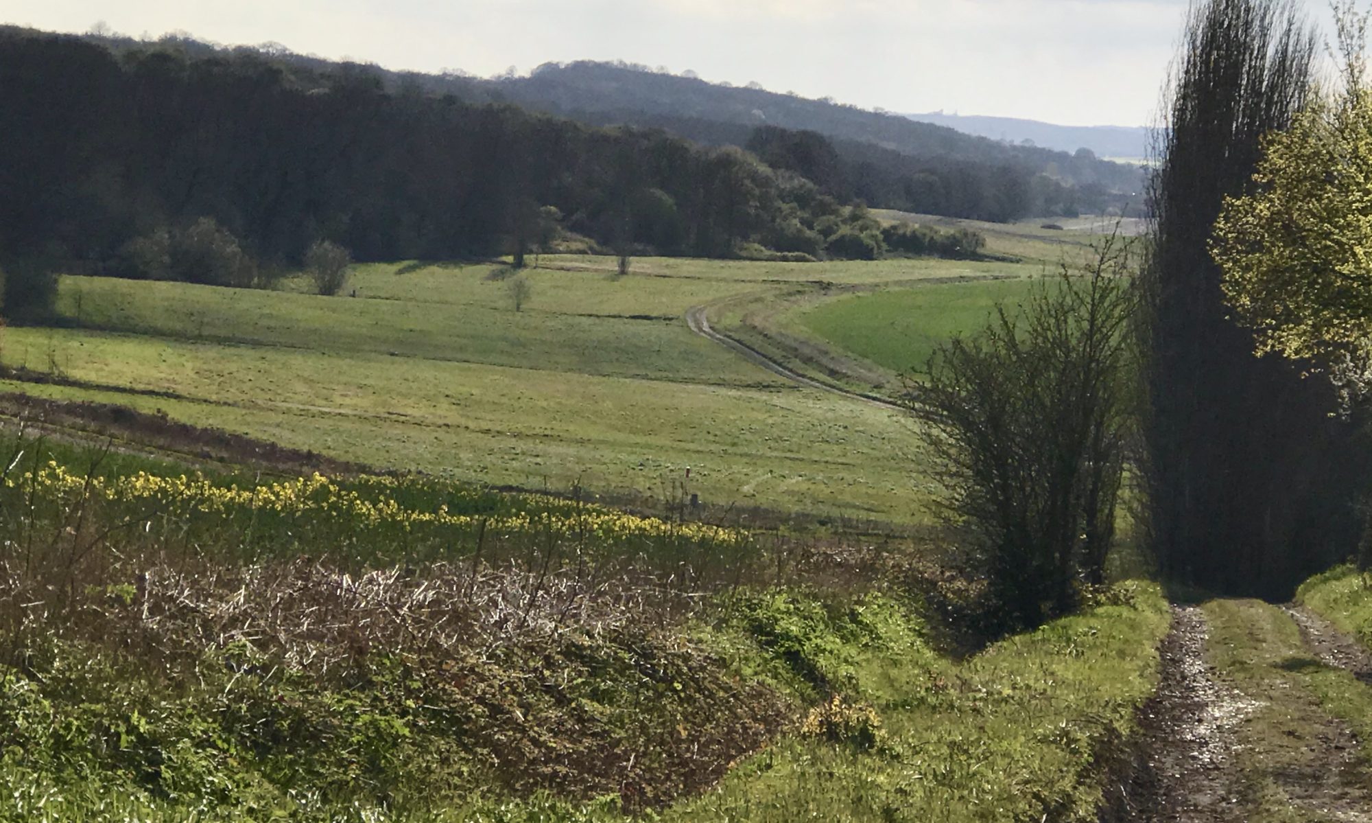
There are plans for major housing development on the Hoo Peninsula including up to 12,000 new homes, much of them in a new settlement in Hoo St Werburgh that will come to within less than one thousand yards of High Halstow.
As part of the Hoo Peninsula, the land to the east of High Halstow has been identified for approximately 800 new homes by Medway Council in their emerging Local Plan
The Parish Council has made clear in their draft Neighbourhood Plan that they are opposed to the development of this land in principle, and certainly before the infrastructure investment has been made. Additionally, the Parish Council believe that the development of housing in rural areas necessitating large scale infrastructure improvements is inconsistent with climate change concerns. However, they have also taken a pragmatic stance, recognising that the site is likely to be allocated in the Local Plan. They have therefore produced a draft Design Code to ensure that, if development comes forward, it is as good as it can be, that it responds to the character and identity of the existing settlement and meets the community’s needs.
The Parish Council maintains that development of the land east of High Halstow is unsustainable, especially if brought forward before the new Medway Local Plan (2019-2037) is adopted and before appropriate infrastructure improvements to the site and surrounding areas are made.
The Parish Council acknowledges, that the site could come forward within the new Local Plan and if so, want to ensure that development is brought forward to the highest standards and quality and will meet the existing and future needs of High Halstow village.
Accordingly, the Parish Council have produced a Masterplan Framework within the design code and specific rules for development of land east of High Halstow. In addition to the Key Design Principles set out below:
Key Design Principles
- Development that integrates into and relates to the existing Village of High Halstow retaining its identity as a rural settlement;
- A new network of streets with a clear street hierarchy which connects with the existing settlement via Brittania Road and Christmas Lane;
- A bus route connecting the existing settlement village centre with the new proposed village centre and down to the proposed new railway station to the south of the Parish;
- New village centre, with a new primary school and a mix of shops and community uses;
- he creation of three Area Types that vary in built-form, street typology, densities and identity;
- Provision of new open parkland space, integrating SuDs and new tree planting;
- A substantive buffer between High Halstow and the Ratcliffe Highway with extensive tree planting and enhancement of the landscape character;
- A new main access road to the village centre direct from the roundabout on the Radcliffe Highway. This potentially allows part of Christmas Lane to be closed to car traffic. This will create a strong route to the proposed new station;
- Provision of green spaces, designed to be actively used, that follow desire lines and provide for a range of recreational uses, including opportunities for play and growing spaces;
- Ensure maximum connectivity and permeability between the two village centres and improvements to the movement network that provides an opportunity for people to walk and cycle across the site safely;
- Safeguards and enhances the existing woodland to the east of the site and provides new tree planting;
- New street tree planting on all new primary and secondary streets.
This draft Design Code will form an important addition to our Neighbourhood Plan that will shape the way the village could develop over the coming years. It is extremely important to get your views on how you would like to see our community develop if planning permission is granted for the land East of the village between Christmas Lane and Britannia Road.