Britannia Road East Bound
Cooling road West Bound
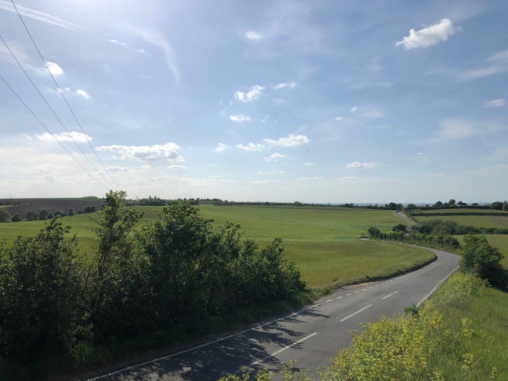
Cooling Road East Bound
Dux Court South Bound
Dux Court North bound
Christmas lane East bound
Christmas Lane Video
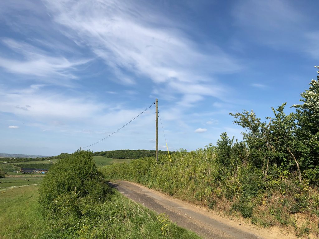
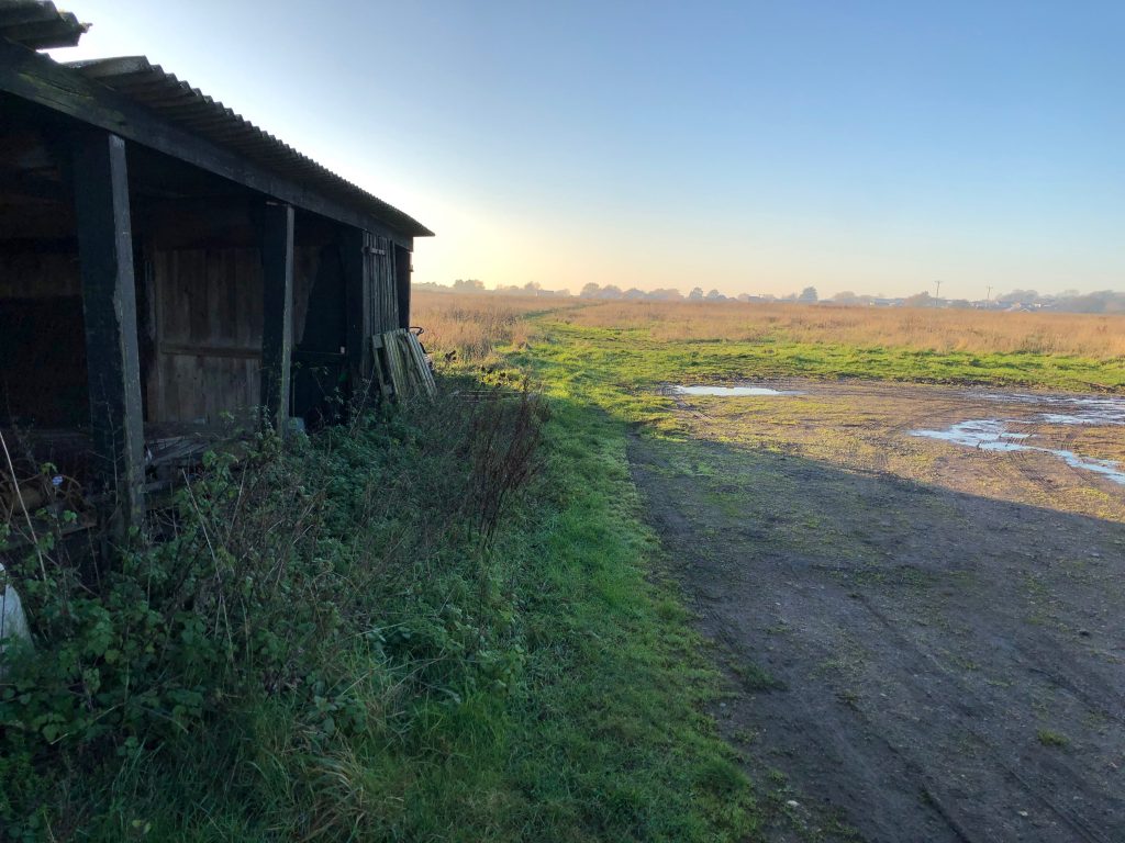
from Clinch Street
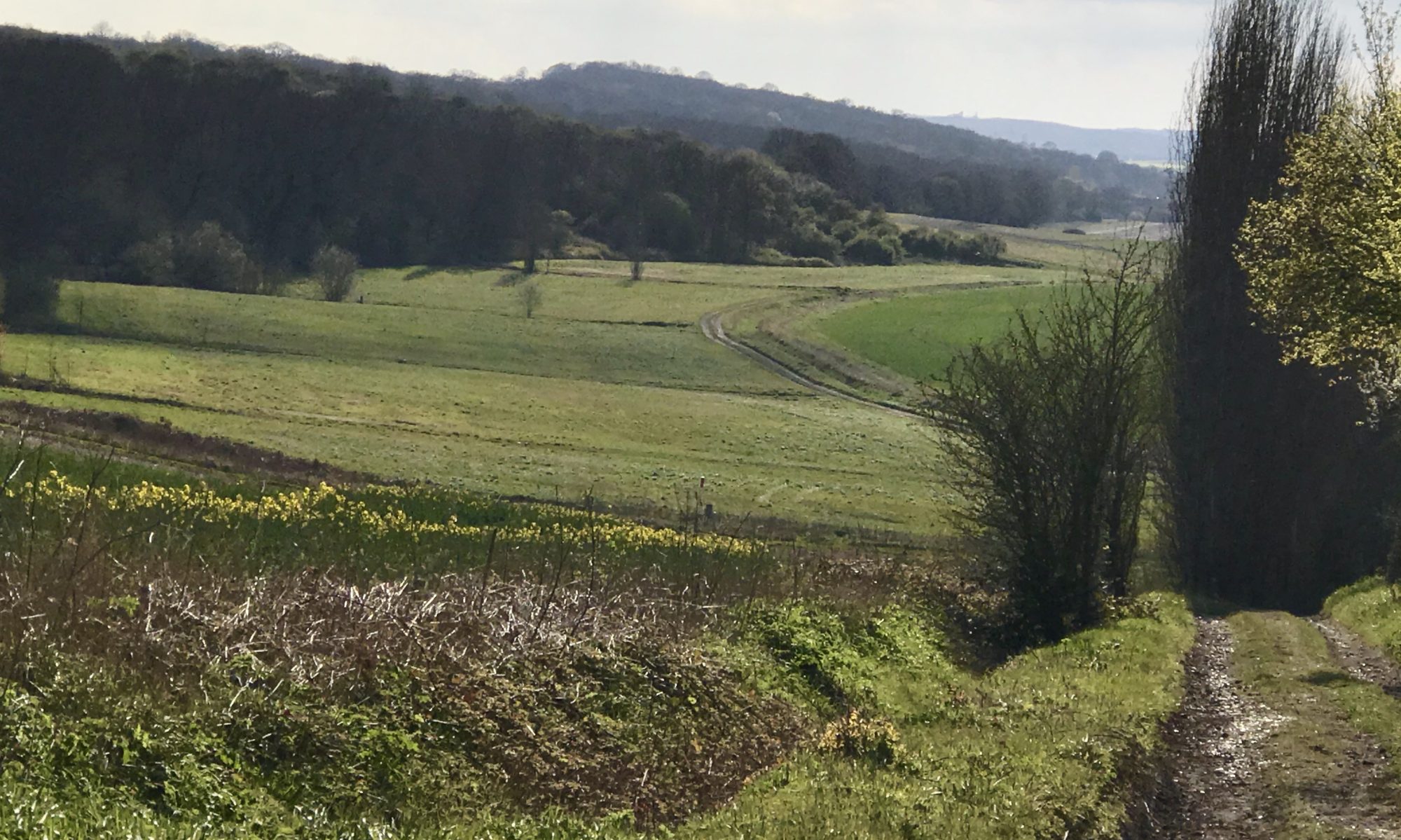
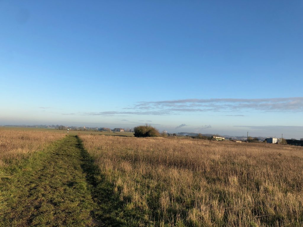
The Saxon Shoreway (RS50) runs to the north of the built village and interconnects Clinch Street, RS 31, RS42, RS38 and RS39 it runs through agricultural land that provides a natural barrier to the National Nature reserve and Special Protection ares to is North. 360˚ views of the village Thames and Medway with the Thames estuary in the distance.
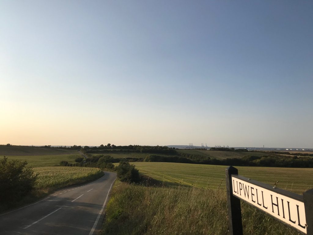
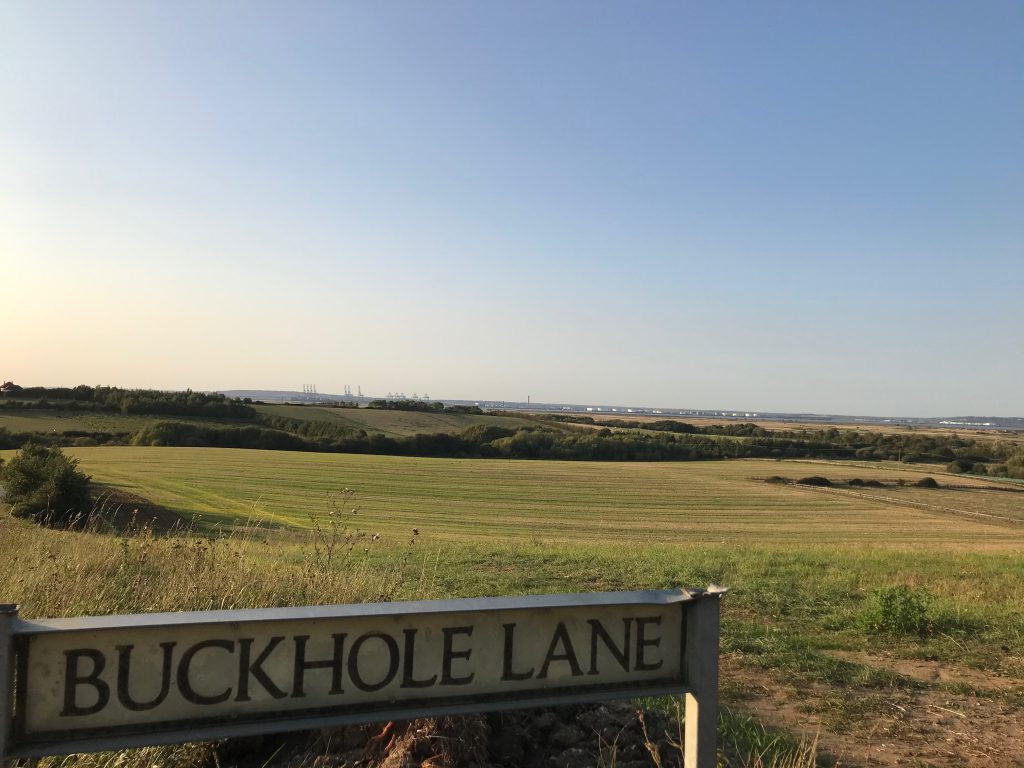
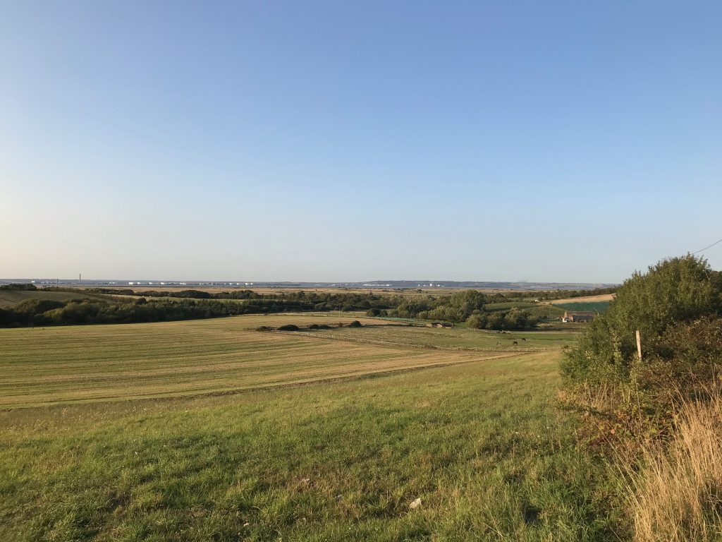
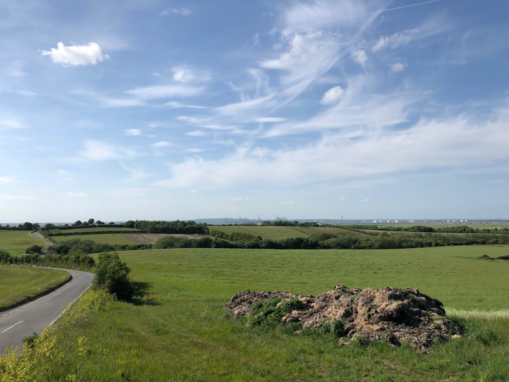
Top of Lipwell Hill
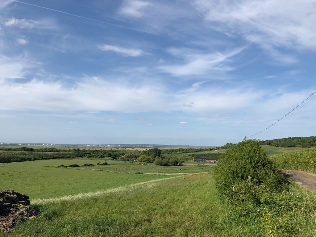
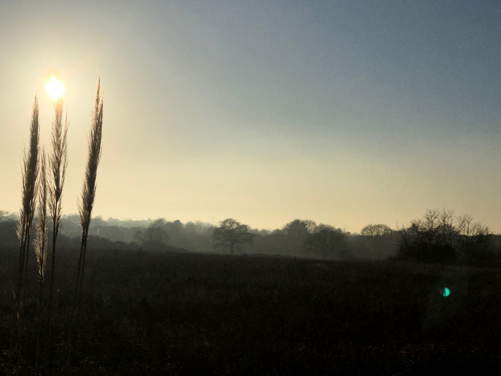
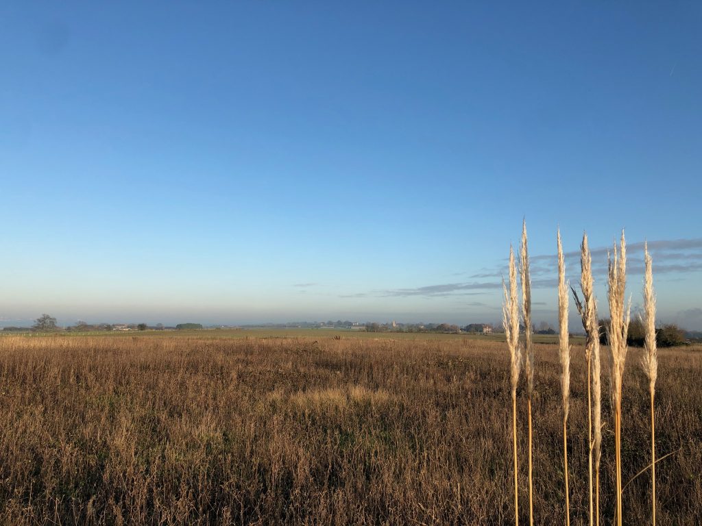
Open view of the marsh land contrasting with the high ground of Northwood Hill. Also shows the barreness of the marshes compared to the major international port and oil terminal on the Essex side of the River Thames. 270˚ Buckhole Farm. East well Farm North Kent Marshes, River Thames.